Banyo night lights from space
Night Light of Banyo (Adamaoua) from space (Cameroon) Src. Average luminocity for 10x10km area is 0% and for 50x50km: 0%.
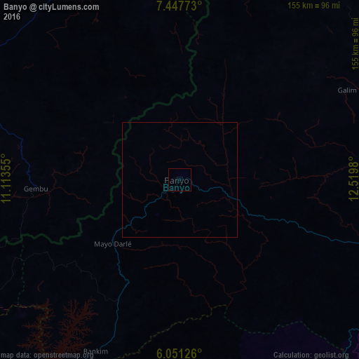
Analysis of Banyo night lights 2016
Square area 10x10 km:
100  0%
0%
90-99 0%
80-89 0%
70-79 0%
60-69 0%
50-59 0%
40-49 0%
30-39 0%
20-29 0%
10-19 0%
0-9 100%
0%90-99
0%80-89
0%70-79
0%60-69
0%50-59
0%40-49
0%30-39
0%20-29
0%10-19
0%0-9
100%Square area 50x50 km:
100 0%
90-99 0%
80-89 0%
70-79 0%
60-69 0%
50-59 0%
40-49 0%
30-39 0%
20-29 0%
10-19 0%
0-9 100%
0%90-99
0%80-89
0%70-79
0%60-69
0%50-59
0%40-49
0%30-39
0%20-29
0%10-19
0%0-9
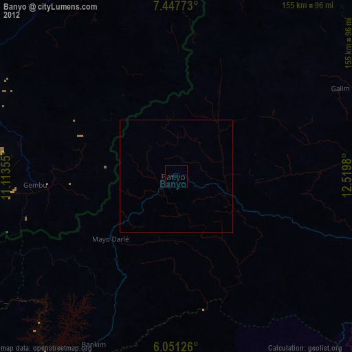
100%Clear (daylight) street map image can be seen on geolist.org.
Map coordinates:
7° 26' 51.8" North, 11° 6' 48.8" East
6° 45' 0" North, 11° 49' 0" East
6° 3' 4.5" North, 12° 31' 11.3" East
Some cities around Banyo sort by population:
• Kumbo
141 km =87.6 mi,  244°
244°
• Tibati
95.1 km =59.1 mi,  109°
109°
• Gembu, NG
61.9 km =38.5 mi,  267°
267°
• Baissa, NG
142 km =88.2 mi,  292°
292°
• Kontcha
142.9 km =88.8 mi,  18°
18°
• Bankim
82.5 km =51.3 mi,  205°
205°
• Jakiri
147.8 km =91.8 mi, 240°
• Yoko
146.1 km =90.8 mi,  157°
157°
2234794 (p: 40,798)
Sources (retrieved 2019-11-25):
» Earth at Night: Flat Maps 2012, 2016