Bélabo night lights from space
Night Light of Bélabo (East) from space (Cameroon) Src. Average luminocity for 10x10km area is 1.8988% and for 50x50km: 0.0788%.
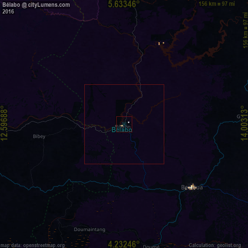
Analysis of Bélabo night lights 2016
Square area 10x10 km:
 0.21%
0.21%90-99
0.62%80-89
0%70-79
0.83%60-69
0%50-59
0%40-49
0.83%30-39
0%20-29
0%10-19
0%0-9
97.52%Square area 50x50 km:
0.01%90-99
0.03%80-89
0%70-79
0.03%60-69
0%50-59
0%40-49
0.03%30-39
0%20-29
0%10-19
0%0-9
99.9%Clear (daylight) street map image can be seen on geolist.org.
Map coordinates:
5° 38' 0.5" North, 12° 35' 48.8" East
4° 55' 60" North, 13° 18' 0" East
4° 13' 56.9" North, 14° 0' 11.3" East
Some cities around Bélabo sort by population:
• Bertoua
58.2 km =36.2 mi,  132°
132°
• Batouri
130.6 km =81.2 mi,  115°
115°
• Nanga Eboko
107.1 km =66.5 mi,  254°
254°
• Abong Mbang
106.4 km =66.1 mi,  186°
186°
• Bétaré Oya
114.1 km =70.9 mi,  49°
49°
• Dimako
67.9 km =42.2 mi,  154°
154°
• Doumé
79.6 km =49.5 mi,  167°
167°
• Yoko
127.7 km =79.3 mi,  301°
301°
2234536 (p: 22,553)
Sources (retrieved 2019-11-25):
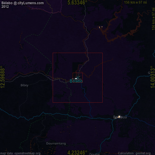
» Earth at Night: Flat Maps 2012, 2016