Ntui night lights from space
Night Light of Ntui (Centre) from space (Cameroon) Src. Average luminocity for 10x10km area is 0% and for 50x50km: 0.0981%.
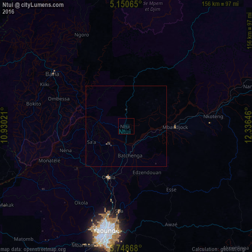
Analysis of Ntui night lights 2016
Square area 10x10 km:
100  0%
0%
90-99 0%
80-89 0%
70-79 0%
60-69 0%
50-59 0%
40-49 0%
30-39 0%
20-29 0%
10-19 0%
0-9 100%
0%90-99
0%80-89
0%70-79
0%60-69
0%50-59
0%40-49
0%30-39
0%20-29
0%10-19
0%0-9
100%Square area 50x50 km:
100 0%
90-99 0%
80-89 0%
70-79 0%
60-69 0.02%
50-59 0.02%
40-49 0.04%
30-39 0.07%
20-29 0.09%
10-19 0.03%
0-9 99.73%
0%90-99
0%80-89
0%70-79
0%60-69
0.02%50-59
0.02%40-49
0.04%30-39
0.07%20-29
0.09%10-19
0.03%0-9
99.73%Clear (daylight) street map image can be seen on geolist.org.
Map coordinates:
5° 9' 2.3" North, 10° 55' 48.8" East
4° 27' 0" North, 11° 37' 60" East
3° 44' 55.2" North, 12° 20' 11.3" East
Some cities around Ntui sort by population:
• Yaoundé
66.1 km =41.1 mi,  191°
191°
• Bafia
55.5 km =34.5 mi,  306°
306°
• Nkoteng
45 km =28 mi,  80°
80°
• Obala
33.4 km =20.8 mi,  199°
199°
• Nanga Eboko
85.3 km =53 mi,  72°
72°
• Mbandjok
29.6 km =18.4 mi,  90°
90°
• Saa
22.3 km =13.9 mi,  245°
245°
• Okola
55.6 km =34.5 mi,  209°
209°
2223421 (p: 6,185)
Sources (retrieved 2019-11-25):
» Earth at Night: Flat Maps 2012, 2016