Nkoteng night lights from space
Night Light of Nkoteng (Centre) from space (Cameroon) Src. Average luminocity for 10x10km area is 0.0124% and for 50x50km: 0.0789%.
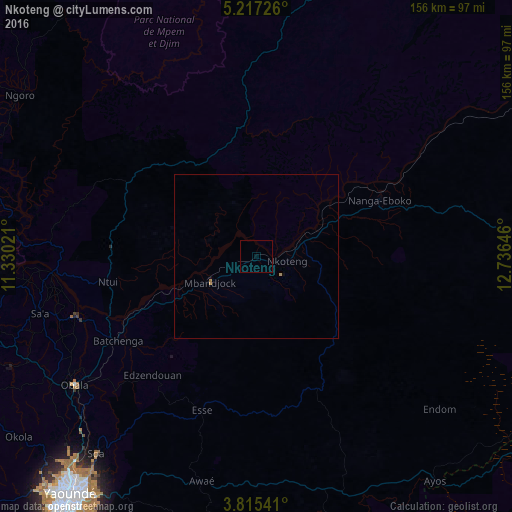

Analysis of Nkoteng night lights 2016
Square area 10x10 km:
 0%
0%90-99
0%80-89
0%70-79
0%60-69
0%50-59
0%40-49
0%30-39
0%20-29
0%10-19
0%0-9
100%Square area 50x50 km:
0%90-99
0%80-89
0%70-79
0.04%60-69
0.06%50-59
0%40-49
0%30-39
0%20-29
0%10-19
0%0-9
99.9%Clear (daylight) street map image can be seen on geolist.org.
Map coordinates:
5° 13' 2.1" North, 11° 19' 48.8" East
4° 31' 0" North, 12° 1' 60" East
3° 48' 55.5" North, 12° 44' 11.3" East
Some cities around Nkoteng sort by population:
• Yaoundé
92.2 km =57.3 mi,  218°
218°
• Obala
67.7 km =42.1 mi,  234°
234°
• Nanga Eboko
41.3 km =25.7 mi,  63°
63°
• Mbandjok
16.5 km =10.3 mi,  243°
243°
• Akonolinga
86.8 km =53.9 mi,  163°
163°
• Ntui
45 km =28 mi,  260°
260°
• Saa
66.8 km =41.5 mi, 255°
• Okola
91 km =56.5 mi, 232°
2223734 (p: 50,334)
Sources (retrieved 2019-11-25):
» NASA, Earths city lights 1995
» NASA city lights 2003
» Earth at Night: Flat Maps 2012, 2016