Kontcha night lights from space
Night Light of Kontcha (Adamaoua) from space (Cameroon) Src. Average luminocity for 10x10km area is 0% and for 50x50km: 0%.
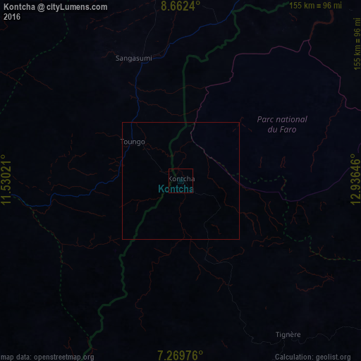
Analysis of Kontcha night lights 2016
Square area 10x10 km:
 0%
0%90-99
0%80-89
0%70-79
0%60-69
0%50-59
0%40-49
0%30-39
0%20-29
0%10-19
0%0-9
100%Square area 50x50 km:
0%90-99
0%80-89
0%70-79
0%60-69
0%50-59
0%40-49
0%30-39
0%20-29
0%10-19
0%0-9
100%Clear (daylight) street map image can be seen on geolist.org.
Map coordinates:
8° 39' 44.6" North, 11° 31' 48.8" East
7° 58' 0" North, 12° 13' 60" East
7° 16' 11.1" North, 12° 56' 11.3" East
Some cities around Kontcha sort by population:
• Jalingo, NG
140.9 km =87.6 mi,  317°
317°
• Yola, NG
140.7 km =87.4 mi,  11°
11°
• Banyo
142.9 km =88.8 mi,  198°
198°
• Beli, NG
139.4 km =86.6 mi,  265°
265°
• Ganye, NG
55.8 km =34.7 mi,  338°
338°
• Toungo, NG
26.6 km =16.5 mi,  309°
309°
• Mayo-Belwa, NG
122.5 km =76.1 mi,  350°
350°
• Poli
124.5 km =77.4 mi,  62°
62°
2230028 (p: 8,018)
Sources (retrieved 2019-11-25):
» Earth at Night: Flat Maps 2012, 2016