Gembu night lights from space
Night Light of Gembu (Taraba) from space (Nigeria) Src. Average luminocity for 10x10km area is 0% and for 50x50km: 0%.
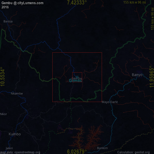
Analysis of Gembu night lights 2016
Square area 10x10 km:
 0%
0%90-99
0%80-89
0%70-79
0%60-69
0%50-59
0%40-49
0%30-39
0%20-29
0%10-19
0%0-9
100%Square area 50x50 km:
0%90-99
0%80-89
0%70-79
0%60-69
0%50-59
0%40-49
0%30-39
0%20-29
0%10-19
0%0-9
100%Clear (daylight) street map image can be seen on geolist.org.
Map coordinates:
7° 25' 24" North, 10° 33' 12.2" East
6° 43' 32" North, 11° 15' 23.5" East
6° 1' 36.4" North, 11° 57' 34.7" East
Some cities around Gembu sort by population:
• Foumban, CM
117.9 km =73.3 mi,  199°
199°
• Kumbo, CM
87.5 km =54.4 mi,  228°
228°
• Banyo, CM
61.9 km =38.5 mi,  87°
87°
• Baissa
89.6 km =55.7 mi,  308°
308°
• Njinikom, CM
120.6 km =74.9 mi,  243°
243°
• Mme-Bafumen, CM
121.2 km =75.3 mi,  248°
248°
• Bankim, CM
76 km =47.2 mi,  160°
160°
• Jakiri, CM
96.6 km =60 mi,  223°
223°
2341275 (p: 19,881)
Sources (retrieved 2019-11-25):
» Earth at Night: Flat Maps 2012, 2016