Meïganga night lights from space
Night Light of Meïganga (Adamaoua) from space (Cameroon) Src. Average luminocity for 10x10km area is 0.2814% and for 50x50km: 0.0112%.
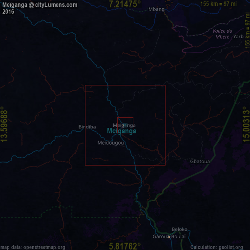

Analysis of Meïganga night lights 2016
Square area 10x10 km:
 0%
0%90-99
0%80-89
0%70-79
0%60-69
0%50-59
0%40-49
0%30-39
0.87%20-29
0%10-19
0%0-9
99.13%Square area 50x50 km:
0%90-99
0%80-89
0%70-79
0%60-69
0%50-59
0%40-49
0%30-39
0.03%20-29
0%10-19
0%0-9
99.97%Clear (daylight) street map image can be seen on geolist.org.
Map coordinates:
7° 12' 53.1" North, 13° 35' 48.8" East
6° 31' 0" North, 14° 18' 0" East
5° 49' 3.4" North, 15° 0' 11.3" East
Some cities around Meïganga sort by population:
• Ngaoundéré
119.9 km =74.5 mi,  318°
318°
• Garoua Boulaï
75.6 km =47 mi,  158°
158°
• Tibati
184.8 km =114.8 mi,  268°
268°
• Bouar, CF
157.2 km =97.7 mi,  114°
114°
• Bélabo
207.9 km =129.2 mi,  212°
212°
• Bétaré Oya
104.7 km =65.1 mi,  193°
193°
• Bélel
61.1 km =38 mi,  13°
13°
• Baoro, CF
207.1 km =128.7 mi,  117°
117°
2227402 (p: 80,100)
Sources (retrieved 2019-11-25):
» NASA, Earths city lights 1995
» NASA city lights 2003
» Earth at Night: Flat Maps 2012, 2016