Baissa night lights from space
Night Light of Baissa (Taraba) from space (Nigeria) Src. Average luminocity for 10x10km area is 0% and for 50x50km: 0%.
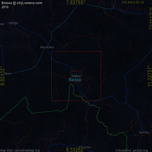
Analysis of Baissa night lights 2016
Square area 10x10 km:
 0%
0%90-99
0%80-89
0%70-79
0%60-69
0%50-59
0%40-49
0%30-39
0%20-29
0%10-19
0%0-9
100%Square area 50x50 km:
0%90-99
0%80-89
0%70-79
0%60-69
0%50-59
0%40-49
0%30-39
0%20-29
0%10-19
0%0-9
100%Clear (daylight) street map image can be seen on geolist.org.
Map coordinates:
7° 55' 40.3" North, 9° 55' 16.8" East
7° 13' 51.1" North, 10° 37' 28" East
6° 31' 58.2" North, 11° 19' 39.3" East
Some cities around Baissa sort by population:
• Wum, CM
112.6 km =70 mi,  213°
213°
• Kumbo, CM
114.7 km =71.3 mi,  177°
177°
• Fundong, CM
116 km =72.1 mi,  199°
199°
• Takum
70.8 km =44 mi,  273°
273°
• Gembu
89.6 km =55.7 mi,  128°
128°
• Beli
79.6 km =49.5 mi,  28°
28°
• Zaki Biam
115.9 km =72 mi,  285°
285°
• Mme-Bafumen, CM
108.7 km =67.5 mi, 203°
2348228 (p: 8,911)
Sources (retrieved 2019-11-25):
» Earth at Night: Flat Maps 2012, 2016