Jakiri night lights from space
Night Light of Jakiri (North-West) from space (Cameroon) Src. Average luminocity for 10x10km area is 0% and for 50x50km: 0%.
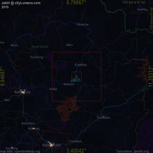
Analysis of Jakiri night lights 2016
Square area 10x10 km:
100  0%
0%
90-99 0%
80-89 0%
70-79 0%
60-69 0%
50-59 0%
40-49 0%
30-39 0%
20-29 0%
10-19 0%
0-9 100%
0%90-99
0%80-89
0%70-79
0%60-69
0%50-59
0%40-49
0%30-39
0%20-29
0%10-19
0%0-9
100%Square area 50x50 km:
100 0%
90-99 0%
80-89 0%
70-79 0%
60-69 0%
50-59 0%
40-49 0%
30-39 0%
20-29 0%
10-19 0%
0-9 100%
0%90-99
0%80-89
0%70-79
0%60-69
0%50-59
0%40-49
0%30-39
0%20-29
0%10-19
0%0-9
100%Clear (daylight) street map image can be seen on geolist.org.
Map coordinates:
6° 47' 55.2" North, 9° 56' 48.7" East
6° 6' 0" North, 10° 39' 0" East
5° 24' 1.5" North, 11° 21' 11.3" East
Some cities around Jakiri sort by population:
• Bamenda
57.9 km =36 mi,  254°
254°
• Foumban
49.8 km =30.9 mi,  146°
146°
• Kumbo
11.3 km =7 mi,  9°
9°
• Fundong
45.5 km =28.3 mi,  291°
291°
• Babanki
44.3 km =27.5 mi,  272°
272°
• Belo
44.4 km =27.6 mi, 274°
• Njinikom
43.2 km =26.8 mi, 290°
• Mme-Bafumen
52.9 km =32.9 mi,  299°
299°
2230641 (p: 5,269)
Sources (retrieved 2019-11-25):
» Earth at Night: Flat Maps 2012, 2016