Kumbo night lights from space
Night Light of Kumbo (North-West) from space (Cameroon) Src. Average luminocity for 10x10km area is 0% and for 50x50km: 0%.
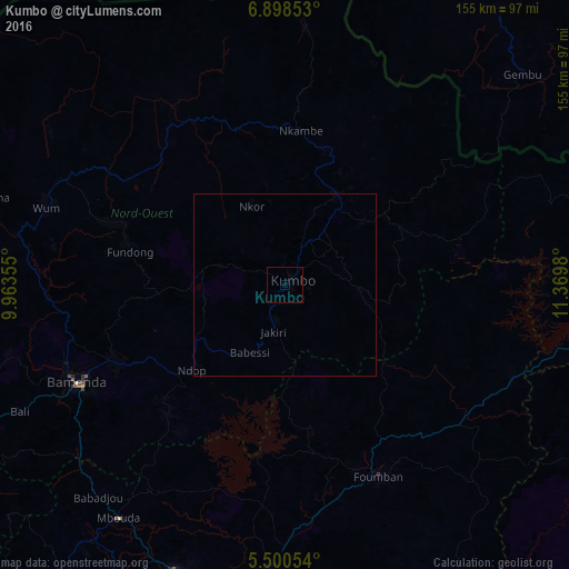
Analysis of Kumbo night lights 2016
Square area 10x10 km:
 0%
0%90-99
0%80-89
0%70-79
0%60-69
0%50-59
0%40-49
0%30-39
0%20-29
0%10-19
0%0-9
100%Square area 50x50 km:
0%90-99
0%80-89
0%70-79
0%60-69
0%50-59
0%40-49
0%30-39
0%20-29
0%10-19
0%0-9
100%Clear (daylight) street map image can be seen on geolist.org.
Map coordinates:
6° 53' 54.7" North, 9° 57' 48.8" East
6° 12' 0" North, 10° 40' 0" East
5° 30' 1.9" North, 11° 22' 11.3" East
Some cities around Kumbo sort by population:
• Bamenda
63.5 km =39.5 mi,  245°
245°
• Foumban
58.6 km =36.4 mi,  154°
154°
• Fundong
44.6 km =27.7 mi,  277°
277°
• Babanki
47 km =29.2 mi,  258°
258°
• Belo
46.7 km =29 mi, 260°
• Njinikom
42.5 km =26.4 mi,  274°
274°
• Mme-Bafumen
50.1 km =31.1 mi,  287°
287°
• Jakiri
11.3 km =7 mi,  189°
189°
2229748 (p: 53,970)
Sources (retrieved 2019-11-25):
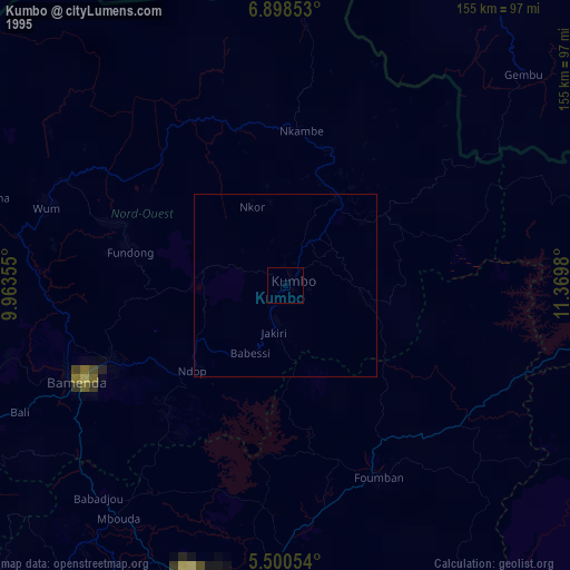
» NASA, Earths city lights 1995
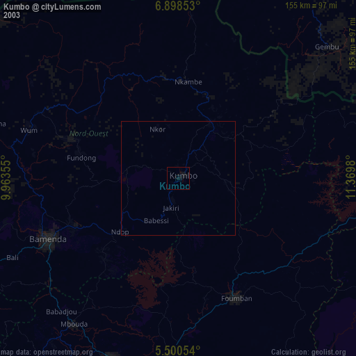
» NASA city lights 2003
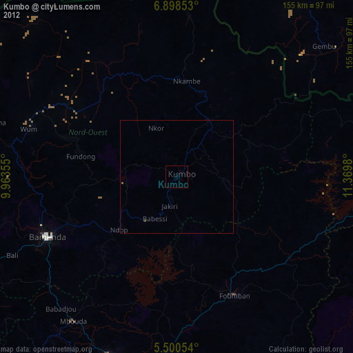
» Earth at Night: Flat Maps 2012, 2016