Foumbot night lights from space
Night Light of Foumbot (West) from space (Cameroon) Src. Average luminocity for 10x10km area is 0% and for 50x50km: 0.2357%.
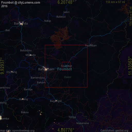
Analysis of Foumbot night lights 2016
Square area 10x10 km:
 0%
0%90-99
0%80-89
0%70-79
0%60-69
0%50-59
0%40-49
0%30-39
0%20-29
0%10-19
0%0-9
100%Square area 50x50 km:
0%90-99
0.01%80-89
0.03%70-79
0.05%60-69
0.03%50-59
0.12%40-49
0.05%30-39
0.01%20-29
0.06%10-19
0.11%0-9
99.54%Clear (daylight) street map image can be seen on geolist.org.
Map coordinates:
6° 12' 26.9" North, 9° 55' 45.7" East
5° 30' 28.9" North, 10° 37' 57" East
4° 48' 27.9" North, 11° 20' 8.3" East
Some cities around Foumbot sort by population:
• Bafoussam
24 km =14.9 mi,  261°
261°
• Mbouda
43.9 km =27.3 mi,  287°
287°
• Bangangté
42.5 km =26.4 mi,  196°
196°
• Bazou
53.1 km =33 mi, 200°
• Ngou
44.1 km =27.4 mi,  218°
218°
• Bansoa
35.9 km =22.3 mi, 259°
• Bandjoun
28.4 km =17.6 mi,  238°
238°
• Bamendjou
36 km =22.4 mi,  248°
248°
2231504 (p: 84,065)
Sources (retrieved 2019-11-25):
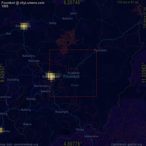
» NASA, Earths city lights 1995
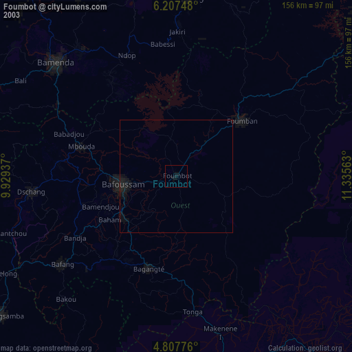
» NASA city lights 2003
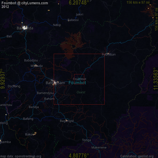
» Earth at Night: Flat Maps 2012, 2016