Foumban night lights from space
Night Light of Foumban (West) from space (Cameroon) Src. Average luminocity for 10x10km area is 0.3471% and for 50x50km: 0.0144%.
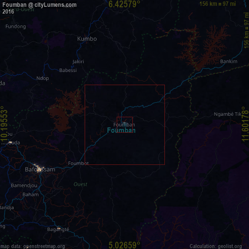
Analysis of Foumban night lights 2016
Square area 10x10 km:
 0%
0%90-99
0%80-89
0%70-79
0%60-69
0%50-59
0%40-49
0%30-39
0%20-29
0.83%10-19
0%0-9
99.17%Square area 50x50 km:
0%90-99
0%80-89
0%70-79
0%60-69
0%50-59
0%40-49
0%30-39
0%20-29
0.03%10-19
0%0-9
99.97%Clear (daylight) street map image can be seen on geolist.org.
Map coordinates:
6° 25' 32.8" North, 10° 11' 43.9" East
5° 43' 35.8" North, 10° 53' 55.1" East
5° 1' 35.7" North, 11° 36' 6.4" East
Some cities around Foumban sort by population:
• Bafoussam
60 km =37.3 mi,  242°
242°
• Mbouda
72.2 km =44.9 mi,  261°
261°
• Kumbo
58.6 km =36.4 mi,  334°
334°
• Bansoa
71.8 km =44.6 mi, 244°
• Bandjoun
66.4 km =41.3 mi,  234°
234°
• Bamendjou
73.2 km =45.5 mi, 239°
• Bankim
76.5 km =47.5 mi,  58°
58°
• Jakiri
49.8 km =30.9 mi, 326°
2231506 (p: 92,673)
Sources (retrieved 2019-11-25):
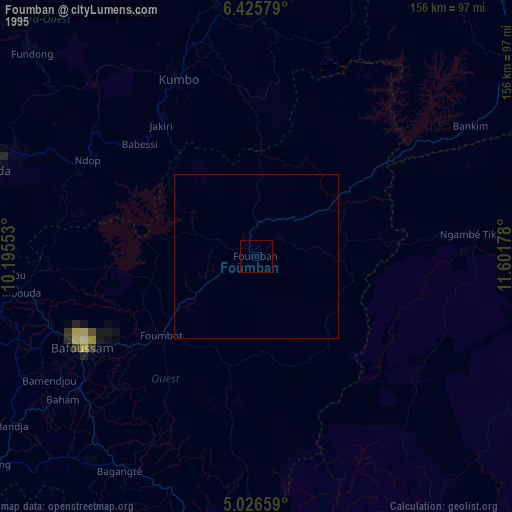
» NASA, Earths city lights 1995
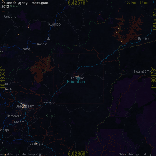
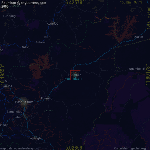
» NASA city lights 2003
» Earth at Night: Flat Maps 2012, 2016