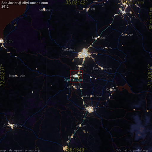
San Javier night lights from space
Night Light of San Javier (Maule Region) from space (Chile) Src. Average luminocity for 10x10km area is 17.2115% and for 50x50km: 5.5185%.
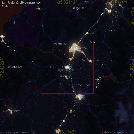
Analysis of San Javier night lights 2016
Square area 10x10 km:
 2.8%
2.8%90-99
2.27%80-89
1.57%70-79
1.92%60-69
2.8%50-59
1.57%40-49
1.75%30-39
2.45%20-29
2.27%10-19
7.69%0-9
72.9%Square area 50x50 km:
0.53%90-99
0.74%80-89
0.96%70-79
0.64%60-69
0.76%50-59
0.67%40-49
0.44%30-39
0.85%20-29
1.49%10-19
4.19%0-9
88.74%Clear (daylight) street map image can be seen on geolist.org.
Map coordinates:
35° 1' 17.1" South, 72° 25' 56.5" West
35° 35' 42.7" South, 71° 43' 45.3" West
36° 9' 53.6" South, 71° 1' 34" West
Some cities around San Javier sort by population:
• Talca
19.9 km =12.4 mi,  19°
19°
• Linares
30.5 km =19 mi,  156°
156°
• Constitución
68.3 km =42.4 mi,  295°
295°
• Cauquenes
67.6 km =42 mi,  232°
232°
• Molina
67.1 km =41.7 mi,  37°
37°
• Parral
61.5 km =38.2 mi,  188°
188°
• San Clemente
22.8 km =14.2 mi,  73°
73°
• Longaví
41.3 km =25.7 mi,  174°
174°
3872154 (p: 22,427)
Sources (retrieved 2019-11-25):
» Earth at Night: Flat Maps 2012, 2016