Constitución night lights from space
Night Light of Constitución (Maule Region) from space (Chile) Src. Average luminocity for 10x10km area is 13.6886% and for 50x50km: 0.7896%.
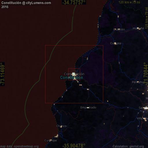
Analysis of Constitución night lights 2016
Square area 10x10 km:
 1.1%
1.1%90-99
2.01%80-89
2.01%70-79
2.56%60-69
1.83%50-59
1.47%40-49
0.73%30-39
4.4%20-29
0%10-19
1.47%0-9
82.42%Square area 50x50 km:
0.04%90-99
0.08%80-89
0.12%70-79
0.13%60-69
0.11%50-59
0.11%40-49
0.19%30-39
0.21%20-29
0%10-19
0.06%0-9
98.95%Clear (daylight) street map image can be seen on geolist.org.
Map coordinates:
34° 45' 27.3" South, 73° 6' 52.9" West
35° 19' 59.6" South, 72° 24' 41.6" West
35° 54' 17.2" South, 71° 42' 30.4" West
Some cities around Constitución sort by population:
• Talca
69.3 km =43.1 mi,  98°
98°
• Linares
93.5 km =58.1 mi,  127°
127°
• Cauquenes
70.9 km =44.1 mi,  173°
173°
• Molina
105.4 km =65.5 mi,  76°
76°
• Parral
104.4 km =64.9 mi,  149°
149°
• San Javier
68.3 km =42.4 mi,  115°
115°
• San Clemente
86.8 km =53.9 mi,  105°
105°
• Longaví
96.2 km =59.8 mi,  136°
136°
3893726 (p: 37,917)
Sources (retrieved 2019-11-25):
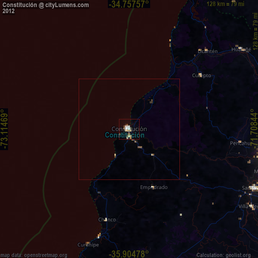
» Earth at Night: Flat Maps 2012, 2016