Longaví night lights from space
Night Light of Longaví (Maule Region) from space (Chile) Src. Average luminocity for 10x10km area is 3.1868% and for 50x50km: 2.2991%.
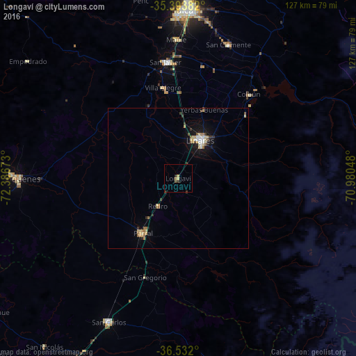
Analysis of Longaví night lights 2016
Square area 10x10 km:
 0%
0%90-99
0%80-89
1.1%70-79
0.37%60-69
0.73%50-59
0.73%40-49
0.73%30-39
1.1%20-29
0.37%10-19
0%0-9
94.87%Square area 50x50 km:
0.23%90-99
0.21%80-89
0.47%70-79
0.34%60-69
0.31%50-59
0.29%40-49
0.16%30-39
0.33%20-29
0.2%10-19
1.72%0-9
95.73%Clear (daylight) street map image can be seen on geolist.org.
Map coordinates:
35° 23' 37.8" South, 72° 23' 12.2" West
35° 57' 53.9" South, 71° 41' 1" West
36° 31' 55.2" South, 70° 58' 49.7" West
Some cities around Longaví sort by population:
• Talca
59.9 km =37.2 mi,  2°
2°
• Linares
15.5 km =9.6 mi,  31°
31°
• San Carlos
56.7 km =35.2 mi,  205°
205°
• Cauquenes
57.5 km =35.7 mi,  269°
269°
• Parral
23.6 km =14.7 mi, 212°
• San Javier
41.3 km =25.7 mi,  354°
354°
• San Clemente
50.7 km =31.5 mi,  20°
20°
• Coihueco
74.9 km =46.5 mi,  190°
190°
3882559 (p: 6,325)
Sources (retrieved 2019-11-25):
» Earth at Night: Flat Maps 2012, 2016