Linares night lights from space
Night Light of Linares (Maule Region) from space (Chile) Src. Average luminocity for 10x10km area is 30.528% and for 50x50km: 2.2819%.
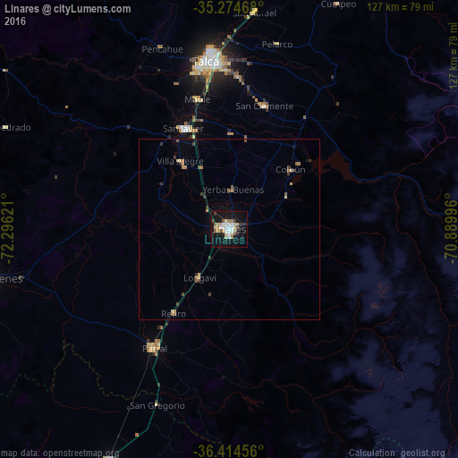
Analysis of Linares night lights 2016
Square area 10x10 km:
 5.77%
5.77%90-99
5.07%80-89
6.29%70-79
2.45%60-69
2.1%50-59
3.5%40-49
1.75%30-39
2.97%20-29
2.1%10-19
40.38%0-9
27.62%Square area 50x50 km:
0.23%90-99
0.21%80-89
0.44%70-79
0.26%60-69
0.29%50-59
0.32%40-49
0.23%30-39
0.44%20-29
0.17%10-19
1.74%0-9
95.68%Clear (daylight) street map image can be seen on geolist.org.
Map coordinates:
35° 16' 28.8" South, 72° 17' 46.4" West
35° 50' 48" South, 71° 35' 35.1" West
36° 24' 52.4" South, 70° 53' 23.9" West
Some cities around Linares sort by population:
• Talca
47.1 km =29.3 mi,  353°
353°
• San Carlos
72.1 km =44.8 mi,  207°
207°
• Cauquenes
67 km =41.6 mi,  258°
258°
• Molina
86.2 km =53.6 mi,  19°
19°
• Parral
39.1 km =24.3 mi, 212°
• San Javier
30.5 km =19 mi,  336°
336°
• San Clemente
35.7 km =22.2 mi, 15°
• Longaví
15.5 km =9.6 mi, 211°
3883167 (p: 69,535)
Sources (retrieved 2019-11-25):
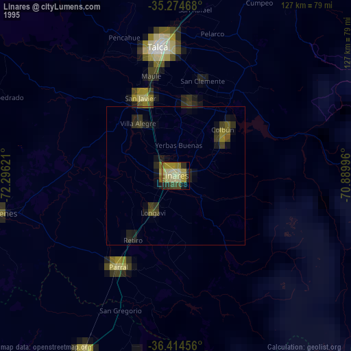
» NASA, Earths city lights 1995
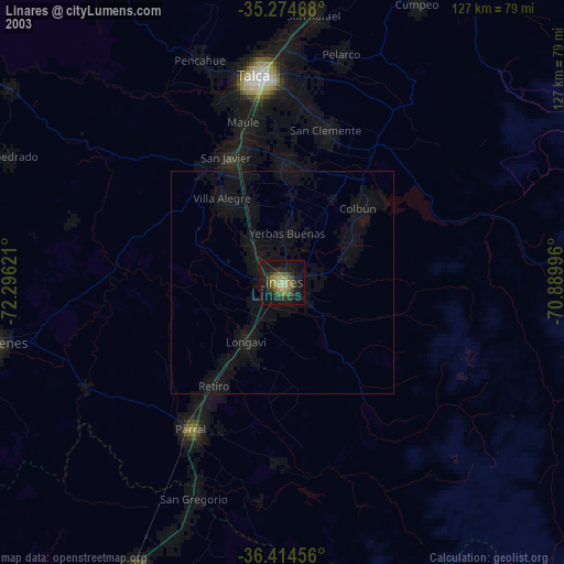
» NASA city lights 2003
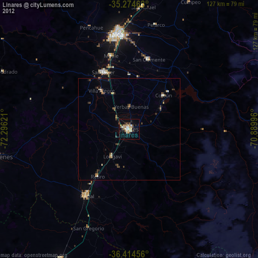
» Earth at Night: Flat Maps 2012, 2016