Parral night lights from space
Night Light of Parral (Maule Region) from space (Chile) Src. Average luminocity for 10x10km area is 12.3608% and for 50x50km: 0.8438%.
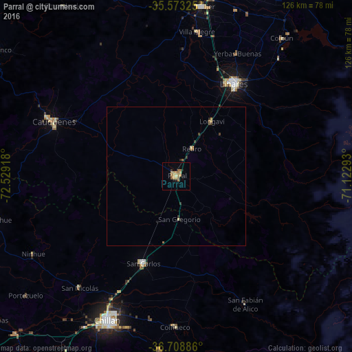
Analysis of Parral night lights 2016
Square area 10x10 km:
 0%
0%90-99
0%80-89
3.11%70-79
4.03%60-69
4.4%50-59
0.92%40-49
0%30-39
0.73%20-29
1.28%10-19
0.92%0-9
84.62%Square area 50x50 km:
0%90-99
0%80-89
0.21%70-79
0.19%60-69
0.25%50-59
0.11%40-49
0.05%30-39
0.18%20-29
0.11%10-19
0.08%0-9
98.81%Clear (daylight) street map image can be seen on geolist.org.
Map coordinates:
35° 34' 23.7" South, 72° 31' 45" West
36° 8' 35.2" South, 71° 49' 33.8" West
36° 42' 31.9" South, 71° 7' 22.5" West
Some cities around Parral sort by population:
• Chillán
57.2 km =35.5 mi,  205°
205°
• Linares
39.1 km =24.3 mi,  32°
32°
• San Carlos
33.5 km =20.8 mi,  200°
200°
• Cauquenes
48.7 km =30.3 mi,  293°
293°
• San Javier
61.5 km =38.2 mi,  8°
8°
• Quirihue
65.9 km =40.9 mi,  256°
256°
• Coihueco
53.9 km =33.5 mi,  180°
180°
• Longaví
23.6 km =14.7 mi, 32°
3877146 (p: 26,904)
Sources (retrieved 2019-11-25):
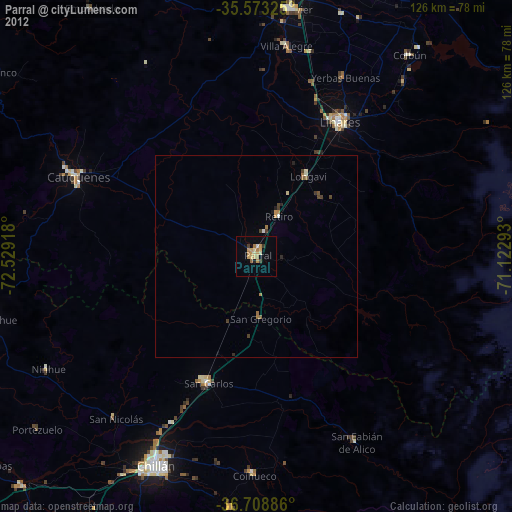
» Earth at Night: Flat Maps 2012, 2016