Talca night lights from space
Night Light of Talca (Maule Region) from space (Chile) Src. Average luminocity for 10x10km area is 61.0623% and for 50x50km: 5.3669%.

Analysis of Talca night lights 2016
Square area 10x10 km:
 10.44%
90-99
16.12%80-89
16.67%70-79
7.14%60-69
6.41%50-59
4.4%40-49
2.38%30-39
5.31%20-29
17.22%10-19
12.64%0-9
1.28%Square area 50x50 km:
0.53%90-99
0.76%80-89
1.03%70-79
0.6%60-69
0.71%50-59
0.62%40-49
0.42%30-39
0.76%20-29
1.48%10-19
3.81%0-9
89.28%Clear (daylight) street map image can be seen on geolist.org.
Map coordinates:
34° 51' 5.1" South, 72° 21' 30.8" West
35° 25' 35" South, 71° 39' 19.5" West
35° 59' 50.3" South, 70° 57' 8.3" West
Some cities around Talca sort by population:
• Curicó
62.1 km =38.6 mi,  37°
37°
• Linares
47.1 km =29.3 mi,  173°
173°
• Constitución
69.3 km =43.1 mi,  278°
278°
• Molina
48.5 km =30.1 mi, 44°
• San Javier
19.9 km =12.4 mi,  199°
199°
• San Clemente
19.6 km =12.2 mi,  129°
129°
• Rauco
63.6 km =39.5 mi,  28°
28°
• Longaví
59.9 km =37.2 mi,  182°
182°
3870294 (p: 197,479)
Sources (retrieved 2019-11-25):
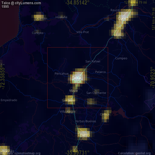
» NASA, Earths city lights 1995
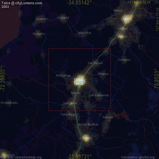
» NASA city lights 2003
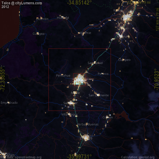
» Earth at Night: Flat Maps 2012, 2016