Molina night lights from space
Night Light of Molina (Maule Region) from space (Chile) Src. Average luminocity for 10x10km area is 17.9825% and for 50x50km: 4.8977%.
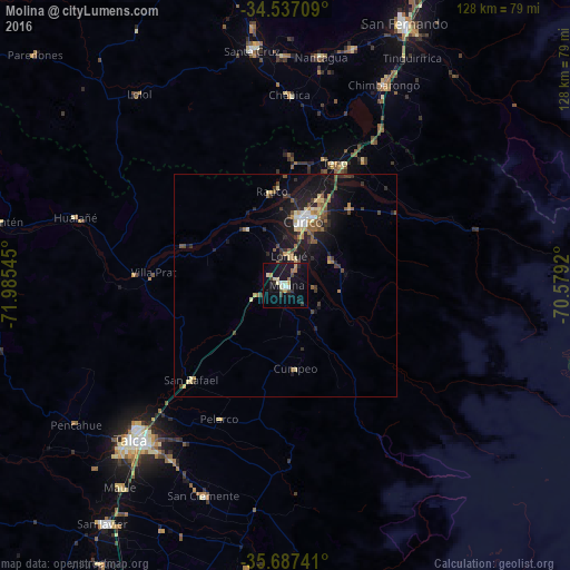
Analysis of Molina night lights 2016
Square area 10x10 km:
 1.4%
1.4%90-99
1.57%80-89
3.32%70-79
2.62%60-69
2.27%50-59
1.22%40-49
2.27%30-39
2.27%20-29
2.62%10-19
21.85%0-9
58.57%Square area 50x50 km:
0.29%90-99
0.36%80-89
0.85%70-79
0.46%60-69
0.63%50-59
0.91%40-49
0.65%30-39
1.1%20-29
1.3%10-19
5.07%0-9
88.36%Clear (daylight) street map image can be seen on geolist.org.
Map coordinates:
34° 32' 13.5" South, 71° 59' 7.6" West
35° 6' 51.4" South, 71° 16' 56.4" West
35° 41' 14.7" South, 70° 34' 45.1" West
Some cities around Molina sort by population:
• Talca
48.5 km =30.1 mi,  224°
224°
• Curicó
15.1 km =9.4 mi,  14°
14°
• Santa Cruz
53.4 km =33.2 mi,  351°
351°
• San Javier
67.1 km =41.7 mi, 217°
• Chimbarongo
49.7 km =30.9 mi,  25°
25°
• San Clemente
50.6 km =31.4 mi,  201°
201°
• Rauco
21.2 km =13.2 mi, 351°
• Teno
29.2 km =18.1 mi,  21°
21°
3879627 (p: 28,775)
Sources (retrieved 2019-11-25):
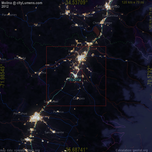
» Earth at Night: Flat Maps 2012, 2016