Cauquenes night lights from space
Night Light of Cauquenes (Maule Region) from space (Chile) Src. Average luminocity for 10x10km area is 15.4194% and for 50x50km: 0.7945%.
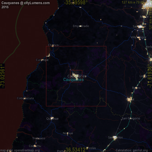
Analysis of Cauquenes night lights 2016
Square area 10x10 km:
 0%
0%90-99
1.28%80-89
5.68%70-79
1.65%60-69
2.38%50-59
2.93%40-49
1.28%30-39
1.65%20-29
1.47%10-19
2.01%0-9
79.67%Square area 50x50 km:
0%90-99
0.06%80-89
0.25%70-79
0.09%60-69
0.09%50-59
0.16%40-49
0.13%30-39
0.12%20-29
0.11%10-19
0.08%0-9
98.92%Clear (daylight) street map image can be seen on geolist.org.
Map coordinates:
35° 23' 45.5" South, 73° 1' 32.2" West
35° 58' 1.6" South, 72° 19' 20.9" West
36° 32' 2.8" South, 71° 37' 9.7" West
Some cities around Cauquenes sort by population:
• Chillán
73.8 km =45.9 mi,  164°
164°
• Linares
67 km =41.6 mi,  78°
78°
• Constitución
70.9 km =44.1 mi,  353°
353°
• San Carlos
60.5 km =37.6 mi,  147°
147°
• Parral
48.7 km =30.3 mi,  113°
113°
• San Javier
67.6 km =42 mi,  52°
52°
• Quirihue
40 km =24.9 mi,  209°
209°
• Longaví
57.5 km =35.7 mi,  89°
89°
3896105 (p: 31,362)
Sources (retrieved 2019-11-25):
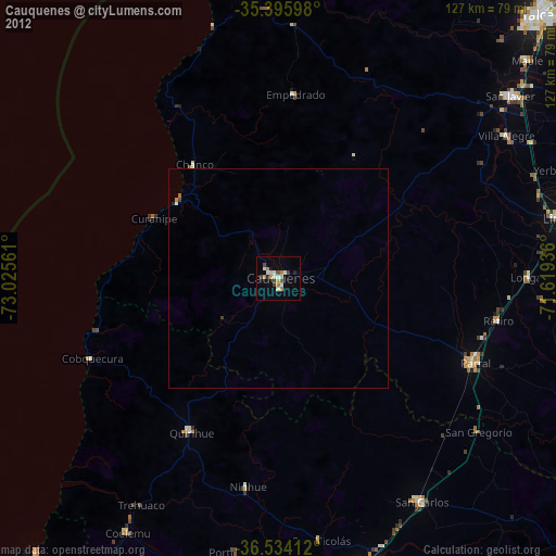
» Earth at Night: Flat Maps 2012, 2016