Korhogo night lights from space
Night Light of Korhogo (Savanes) from space (Ivory Coast) Src. Average luminocity for 10x10km area is 76.9697% and for 50x50km: 7.6528%.
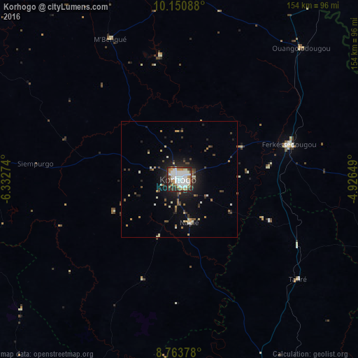
Analysis of Korhogo night lights 2016
Square area 10x10 km:
 35.28%
90-99
18.18%80-89
3.46%70-79
9.96%60-69
6.06%50-59
4.11%40-49
7.36%30-39
7.36%20-29
6.93%10-19
1.3%0-9
0%Square area 50x50 km:
1.41%90-99
1.36%80-89
0.5%70-79
0.88%60-69
0.73%50-59
0.72%40-49
1.21%30-39
1.32%20-29
1.87%10-19
4.75%0-9
85.26%Clear (daylight) street map image can be seen on geolist.org.
Map coordinates:
10° 9' 3.2" North, 6° 19' 57.9" West
9° 27' 28.9" North, 5° 37' 46.6" West
8° 45' 49.6" North, 4° 55' 35.4" West
Some cities around Korhogo sort by population:
• Ferkessédougou
50 km =31.1 mi,  72°
72°
• Banfora, BF
161.3 km =100.2 mi,  35°
35°
• Katiola
157.9 km =98.1 mi,  158°
158°
• Tengréla
142.1 km =88.3 mi,  323°
323°
• Boundiali
94.3 km =58.6 mi,  274°
274°
• Mankono
167.3 km =104 mi,  201°
201°
• Dabakala
179.5 km =111.5 mi,  132°
132°
• Botro
181.9 km =113 mi,  168°
168°
2286304 (p: 167,359)
Sources (retrieved 2019-11-25):
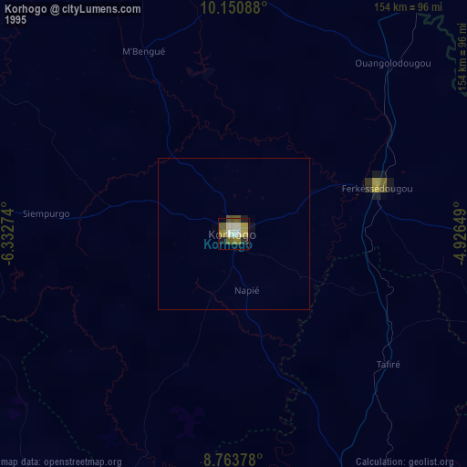
» NASA, Earths city lights 1995
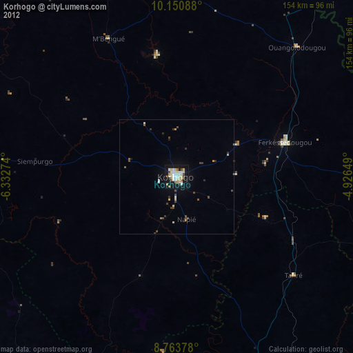
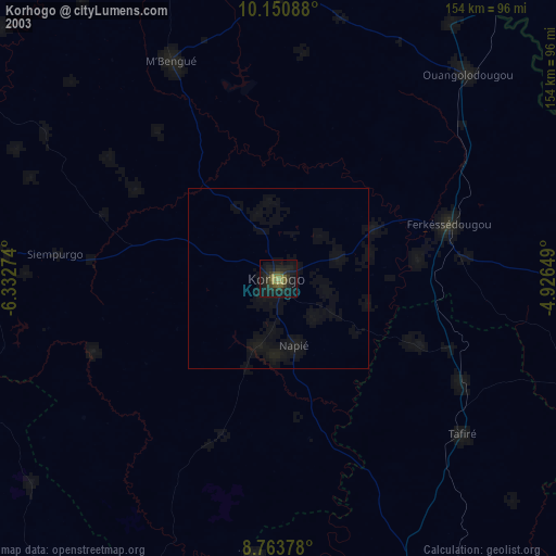
» NASA city lights 2003
» Earth at Night: Flat Maps 2012, 2016