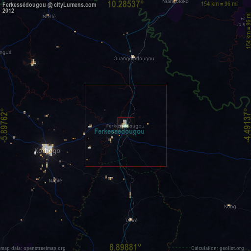
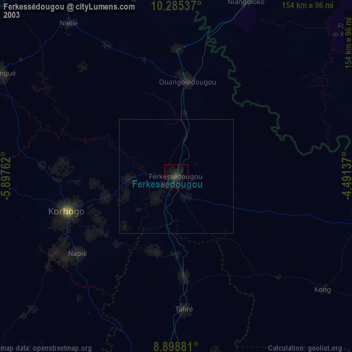
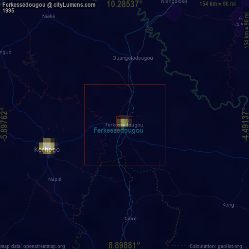
Ferkessédougou night lights from space
Night Light of Ferkessédougou (Savanes) from space (Ivory Coast) Src. Average luminocity for 10x10km area is 19.2468% and for 50x50km: 1.4305%.

Analysis of Ferkessédougou night lights 2016
Square area 10x10 km:
 3.03%
3.03%90-99
4.11%80-89
2.81%70-79
2.16%60-69
0.87%50-59
3.03%40-49
0.87%30-39
2.16%20-29
1.73%10-19
4.98%0-9
74.24%Square area 50x50 km:
0.12%90-99
0.31%80-89
0.2%70-79
0.12%60-69
0.08%50-59
0.25%40-49
0.19%30-39
0.19%20-29
0.26%10-19
0.31%0-9
97.98%Clear (daylight) street map image can be seen on geolist.org.
Map coordinates:
10° 17' 7.3" North, 5° 53' 51.4" West
9° 35' 34.1" North, 5° 11' 40.2" West
8° 53' 55.7" North, 4° 29' 28.9" West
Some cities around Ferkessédougou sort by population:
• Korhogo
50 km =31.1 mi,  252°
252°
• Sikasso, ML
198.6 km =123.4 mi,  344°
344°
• Banfora, BF
124.8 km =77.5 mi,  22°
22°
• Katiola
162.2 km =100.8 mi,  176°
176°
• Tengréla
165.5 km =102.8 mi,  306°
306°
• Boundiali
141.9 km =88.2 mi,  266°
266°
• Dabakala
160.5 km =99.7 mi,  148°
148°
• Botro
193.9 km =120.5 mi, 183°
2289049 (p: 62,008)
Sources (retrieved 2019-11-25):
» NASA, Earths city lights 1995
» NASA city lights 2003
» Earth at Night: Flat Maps 2012, 2016