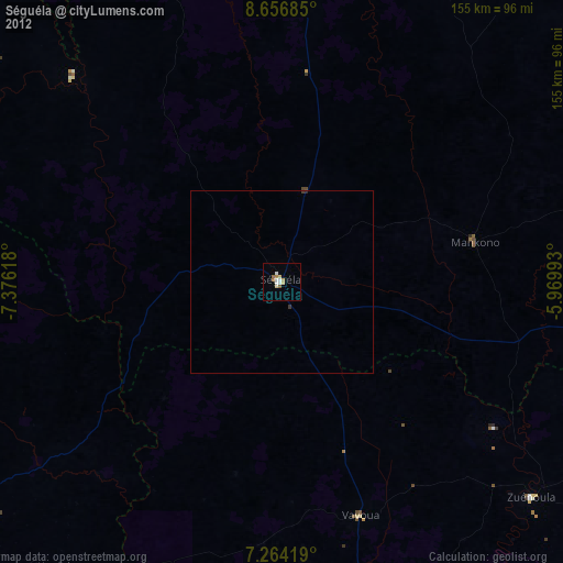
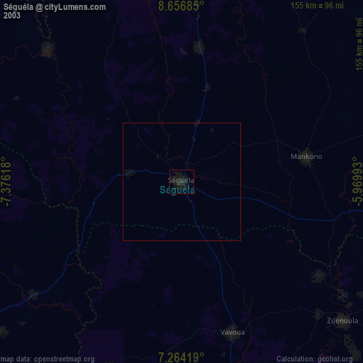
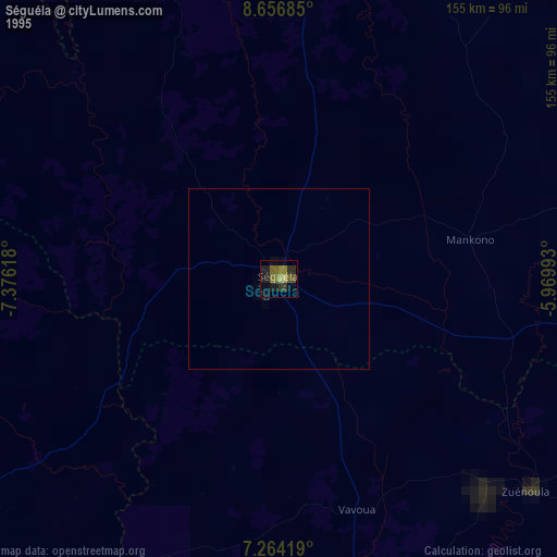
Séguéla night lights from space
Night Light of Séguéla (Woroba) from space (Ivory Coast) Src. Average luminocity for 10x10km area is 23.6798% and for 50x50km: 1.388%.
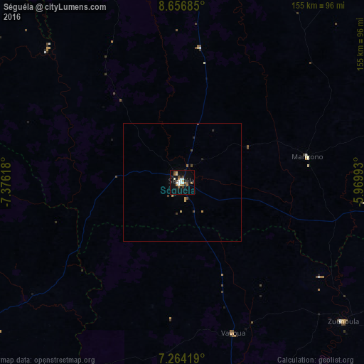
Analysis of Séguéla night lights 2016
Square area 10x10 km:
 3.31%
3.31%90-99
5.79%80-89
1.65%70-79
2.69%60-69
3.72%50-59
1.03%40-49
4.13%30-39
1.45%20-29
2.48%10-19
18.39%0-9
55.37%Square area 50x50 km:
0.13%90-99
0.24%80-89
0.11%70-79
0.22%60-69
0.2%50-59
0.04%40-49
0.37%30-39
0.09%20-29
0.22%10-19
0.75%0-9
97.63%Clear (daylight) street map image can be seen on geolist.org.
Map coordinates:
8° 39' 24.7" North, 7° 22' 34.2" West
7° 57' 40" North, 6° 40' 23" West
7° 15' 51.1" North, 5° 58' 11.7" West
Some cities around Séguéla sort by population:
• Daloa
123 km =76.4 mi,  168°
168°
• Man
114.6 km =71.2 mi,  237°
237°
• Zuénoula
90.5 km =56.2 mi,  130°
130°
• Vavoua
67.9 km =42.2 mi,  161°
161°
• Touba
116.8 km =72.6 mi,  287°
287°
• Béoumi
124.5 km =77.4 mi,  104°
104°
• Biankouma
106.5 km =66.2 mi,  256°
256°
• Mankono
54.3 km =33.7 mi,  78°
78°
2596934 (p: 51,157)
Sources (retrieved 2019-11-25):
» NASA, Earths city lights 1995
» NASA city lights 2003
» Earth at Night: Flat Maps 2012, 2016