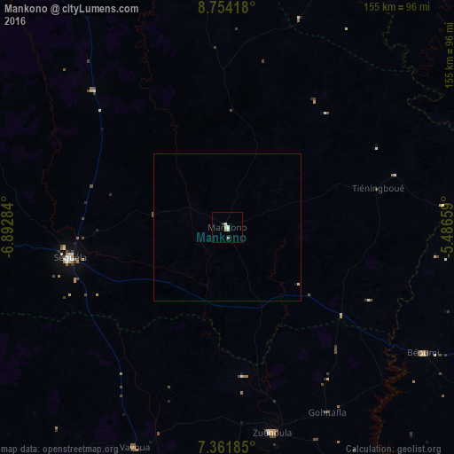
Mankono night lights from space
Night Light of Mankono (Woroba) from space (Ivory Coast) Src. Average luminocity for 10x10km area is 5.5723% and for 50x50km: 0.2822%.
Analysis of Mankono night lights 2016
Square area 10x10 km:
 0%
0%90-99
2.27%80-89
1.86%70-79
0.83%60-69
0%50-59
0%40-49
0.83%30-39
0%20-29
0%10-19
0%0-9
94.21%Square area 50x50 km:
0%90-99
0.09%80-89
0.11%70-79
0.03%60-69
0%50-59
0.02%40-49
0.05%30-39
0%20-29
0%10-19
0.03%0-9
99.66%Clear (daylight) street map image can be seen on geolist.org.
Map coordinates:
8° 45' 15" North, 6° 53' 34.2" West
8° 3' 31" North, 6° 11' 23" West
7° 21' 42.7" North, 5° 29' 11.7" West
Some cities around Mankono sort by population:
• Bouaflé
128.5 km =79.8 mi,  157°
157°
• Katiola
120.2 km =74.7 mi,  85°
85°
• Séguéla
54.3 km =33.7 mi,  258°
258°
• Zuénoula
71.5 km =44.4 mi,  167°
167°
• Vavoua
81.7 km =50.8 mi,  202°
202°
• Béoumi
79.5 km =49.4 mi,  122°
122°
• Sakassou
119.5 km =74.3 mi, 124°
• Botro
99.5 km =61.8 mi,  103°
103°
2284589 (p: 19,095)
Sources (retrieved 2019-11-25):
» Earth at Night: Flat Maps 2012, 2016