Touba night lights from space
Night Light of Touba (Woroba) from space (Ivory Coast) Src. Average luminocity for 10x10km area is 6.2273% and for 50x50km: 0.3132%.

Analysis of Touba night lights 2016
Square area 10x10 km:
 0.21%
0.21%90-99
0.62%80-89
0%70-79
1.86%60-69
2.27%50-59
0%40-49
1.65%30-39
1.65%20-29
0.83%10-19
0.83%0-9
90.08%Square area 50x50 km:
0.01%90-99
0.03%80-89
0%70-79
0.08%60-69
0.09%50-59
0%40-49
0.13%30-39
0.11%20-29
0.07%10-19
0.03%0-9
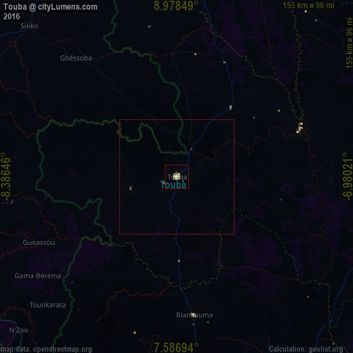
99.46%Clear (daylight) street map image can be seen on geolist.org.
Map coordinates:
8° 58' 42.6" North, 8° 23' 11.3" West
8° 16' 60" North, 7° 40' 60" West
7° 35' 13" North, 6° 58' 48.8" West
Some cities around Touba sort by population:
• Man
97.9 km =60.8 mi,  171°
171°
• Nzérékoré, GN
138 km =85.7 mi,  244°
244°
• Danané
125.1 km =77.7 mi,  204°
204°
• Séguéla
116.8 km =72.6 mi,  107°
107°
• Odienné
136.5 km =84.8 mi,  5°
5°
• New Yekepa, LR
122.4 km =76.1 mi,  230°
230°
• Biankouma
61 km =37.9 mi, 172°
• Beyla, GN
115.4 km =71.7 mi,  293°
293°
2280376 (p: 27,504)
Sources (retrieved 2019-11-25):
» Earth at Night: Flat Maps 2012, 2016