Bonoua night lights from space
Night Light of Bonoua (Comoé) from space (Ivory Coast) Src. Average luminocity for 10x10km area is 21.1983% and for 50x50km: 3.7082%.
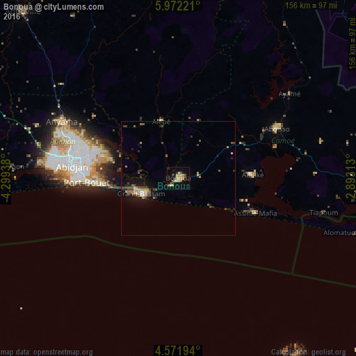
Analysis of Bonoua night lights 2016
Square area 10x10 km:
 0%
0%90-99
0.62%80-89
7.85%70-79
5.17%60-69
2.07%50-59
2.07%40-49
4.75%30-39
0.62%20-29
2.89%10-19
5.79%0-9
68.18%Square area 50x50 km:
0.16%90-99
0.16%80-89
0.66%70-79
0.6%60-69
0.51%50-59
0.44%40-49
0.94%30-39
0.54%20-29
0.82%10-19
2.75%0-9
92.41%Clear (daylight) street map image can be seen on geolist.org.
Map coordinates:
5° 58' 20" North, 4° 17' 57.8" West
5° 16' 20.9" North, 3° 35' 46.5" West
4° 34' 19" North, 2° 53' 35.3" West
Some cities around Bonoua sort by population:
• Abidjan
45.8 km =28.5 mi,  281°
281°
• Abobo
49.1 km =30.5 mi,  288°
288°
• Anyama
56.2 km =34.9 mi,  296°
296°
• Grand-Bassam
17.2 km =10.7 mi,  246°
246°
• Bingerville
33.3 km =20.7 mi, 286°
• Aboisso
48.2 km =30 mi,  63°
63°
• Adiaké
32.4 km =20.1 mi,  87°
87°
• Ayamé
61.1 km =38 mi,  52°
52°
2291087 (p: 37,312)
Sources (retrieved 2019-11-25):
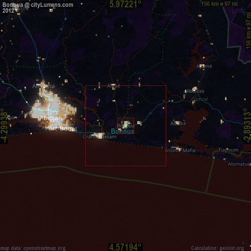
» Earth at Night: Flat Maps 2012, 2016