Anyama night lights from space
Night Light of Anyama (Abidjan) from space (Ivory Coast) Src. Average luminocity for 10x10km area is 44.9132% and for 50x50km: 22.1434%.
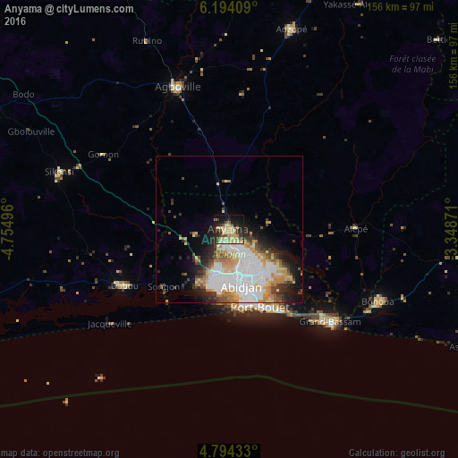
Analysis of Anyama night lights 2016
Square area 10x10 km:
 1.03%
1.03%90-99
6.82%80-89
14.26%70-79
10.12%60-69
4.96%50-59
3.93%40-49
6.82%30-39
9.5%20-29
10.74%10-19
21.9%0-9
9.92%Square area 50x50 km:
6.09%90-99
5%80-89
2.81%70-79
2.84%60-69
2.64%50-59
1.35%40-49
2.49%30-39
2.45%20-29
3.43%10-19
6.55%0-9
64.34%Clear (daylight) street map image can be seen on geolist.org.
Map coordinates:
6° 11' 38.7" North, 4° 45' 17.9" West
5° 29' 40.6" North, 4° 3' 6.6" West
4° 47' 39.6" North, 3° 20' 55.4" West
Some cities around Anyama sort by population:
• Abidjan
16.5 km =10.3 mi,  160°
160°
• Abobo
9.6 km =6 mi, 155°
• Agboville
51.4 km =31.9 mi,  339°
339°
• Grand-Bassam
46.8 km =29.1 mi,  132°
132°
• Dabou
40.6 km =25.2 mi,  242°
242°
• Adzopé
71.3 km =44.3 mi,  17°
17°
• Bingerville
24 km =14.9 mi, 129°
• Bonoua
56.2 km =34.9 mi,  116°
116°
2292852 (p: 100,653)
Sources (retrieved 2019-11-25):
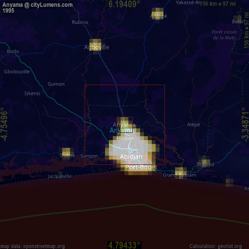
» NASA, Earths city lights 1995
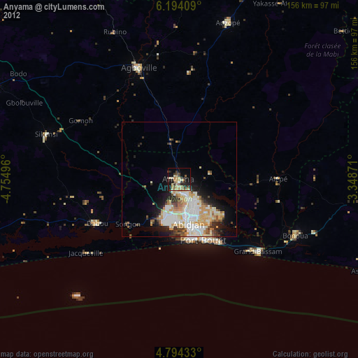
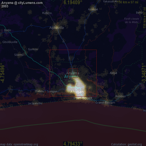
» NASA city lights 2003
» Earth at Night: Flat Maps 2012, 2016