Adiaké night lights from space
Night Light of Adiaké (Comoé) from space (Ivory Coast) Src. Average luminocity for 10x10km area is 9.719% and for 50x50km: 2.5297%.
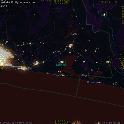
Analysis of Adiaké night lights 2016
Square area 10x10 km:
 0.41%
0.41%90-99
1.24%80-89
1.65%70-79
3.93%60-69
0.21%50-59
0.83%40-49
0.83%30-39
0.83%20-29
2.48%10-19
0%0-9
87.6%Square area 50x50 km:
0.04%90-99
0.09%80-89
0.68%70-79
0.63%60-69
0.1%50-59
0.27%40-49
0.56%30-39
0.5%20-29
0.56%10-19
0.54%0-9
96.03%Clear (daylight) street map image can be seen on geolist.org.
Map coordinates:
5° 59' 9.8" North, 4° 0' 25.8" West
5° 17' 10.8" North, 3° 18' 14.5" West
4° 35' 9" North, 2° 36' 3.3" West
Some cities around Adiaké sort by population:
• Abidjan
77.6 km =48.2 mi,  275°
275°
• Abobo
80.1 km =49.8 mi, 280°
• Anyama
86 km =53.4 mi,  285°
285°
• Grand-Bassam
48.9 km =30.4 mi,  260°
260°
• Bingerville
64.8 km =40.3 mi, 276°
• Aboisso
22.9 km =14.2 mi,  28°
28°
• Bonoua
32.4 km =20.1 mi,  267°
267°
• Ayamé
39 km =24.2 mi,  24°
24°
2293428 (p: 16,531)
Sources (retrieved 2019-11-25):
» Earth at Night: Flat Maps 2012, 2016