Abobo night lights from space
Night Light of Abobo (Abidjan) from space (Ivory Coast) Src. Average luminocity for 10x10km area is 87.6508% and for 50x50km: 25.6499%.
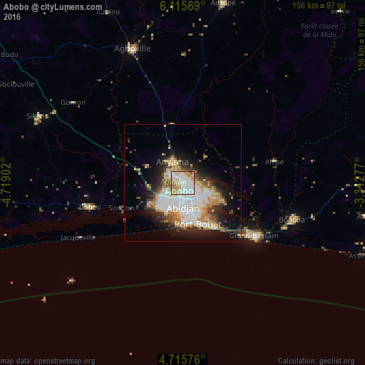
Analysis of Abobo night lights 2016
Square area 10x10 km:
 30.99%
90-99
23.55%80-89
17.77%70-79
14.46%60-69
9.71%50-59
2.07%40-49
1.45%30-39
0%20-29
0%10-19
0%0-9
0%Square area 50x50 km:
6.56%90-99
5.52%80-89
3.08%70-79
3.41%60-69
3.19%50-59
1.47%40-49
2.88%30-39
3.25%20-29
4.75%10-19
9.41%0-9
56.49%Clear (daylight) street map image can be seen on geolist.org.
Map coordinates:
6° 6' 56.5" North, 4° 43' 8.5" West
5° 24' 58.1" North, 4° 0' 57.2" West
4° 42' 56.7" North, 3° 18' 46" West
Some cities around Abobo sort by population:
• Abidjan
7 km =4.3 mi,  167°
167°
• Anyama
9.6 km =6 mi,  335°
335°
• Agboville
61 km =37.9 mi, 339°
• Grand-Bassam
38.2 km =23.7 mi,  126°
126°
• Dabou
41.2 km =25.6 mi,  255°
255°
• Adzopé
78.7 km =48.9 mi,  12°
12°
• Bingerville
15.9 km =9.9 mi,  114°
114°
• Bonoua
49.1 km =30.5 mi, 108°
2293521 (p: 900,000)
Sources (retrieved 2019-11-25):
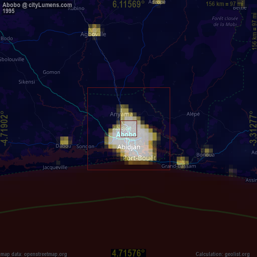
» NASA, Earths city lights 1995
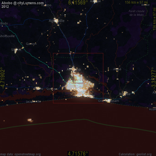
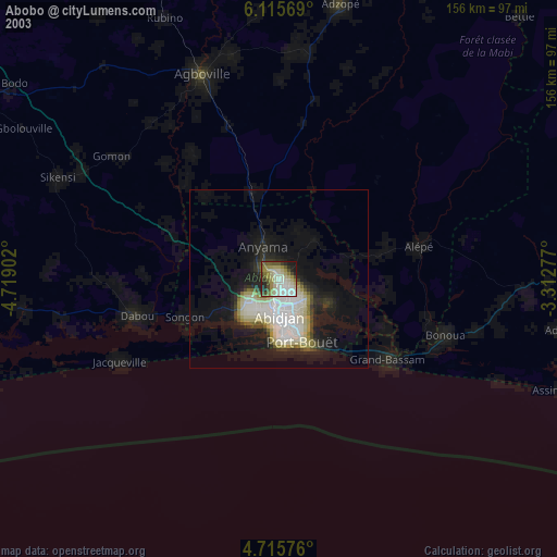
» NASA city lights 2003
» Earth at Night: Flat Maps 2012, 2016