Ayamé night lights from space
Night Light of Ayamé (Comoé) from space (Ivory Coast) Src. Average luminocity for 10x10km area is 2.1901% and for 50x50km: 1.413%.
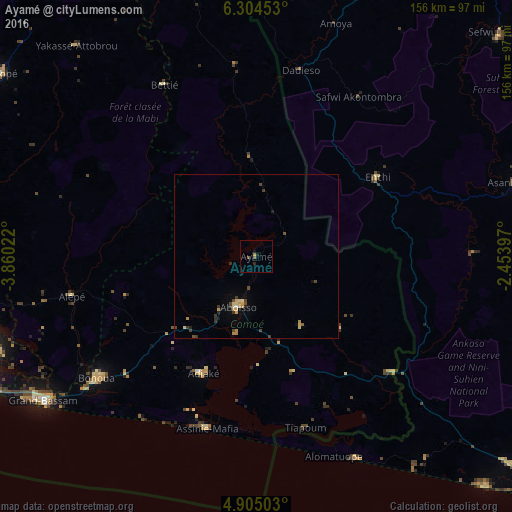
Analysis of Ayamé night lights 2016
Square area 10x10 km:
 0%
0%90-99
0%80-89
0%70-79
0.62%60-69
0.21%50-59
0.83%40-49
0.83%30-39
0.83%20-29
0.83%10-19
0.83%0-9
95.04%Square area 50x50 km:
0.03%90-99
0.03%80-89
0.33%70-79
0.39%60-69
0.05%50-59
0.09%40-49
0.45%30-39
0.39%20-29
0.22%10-19
0.26%0-9
97.77%Clear (daylight) street map image can be seen on geolist.org.
Map coordinates:
6° 18' 16.3" North, 3° 51' 36.8" West
5° 36' 18.7" North, 3° 9' 25.5" West
4° 54' 18.1" North, 2° 27' 14.3" West
Some cities around Ayamé sort by population:
• Abidjan
97.5 km =60.6 mi,  253°
253°
• Abobo
97.3 km =60.5 mi,  257°
257°
• Grand-Bassam
77.8 km =48.3 mi,  235°
235°
• Adzopé
95.9 km =59.6 mi,  305°
305°
• Bingerville
85.2 km =52.9 mi, 251°
• Aboisso
16.3 km =10.1 mi,  199°
199°
• Bonoua
61.1 km =38 mi,  232°
232°
• Adiaké
39 km =24.2 mi, 204°
2292542 (p: 12,315)
Sources (retrieved 2019-11-25):
» Earth at Night: Flat Maps 2012, 2016