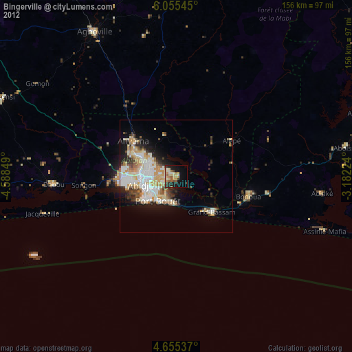
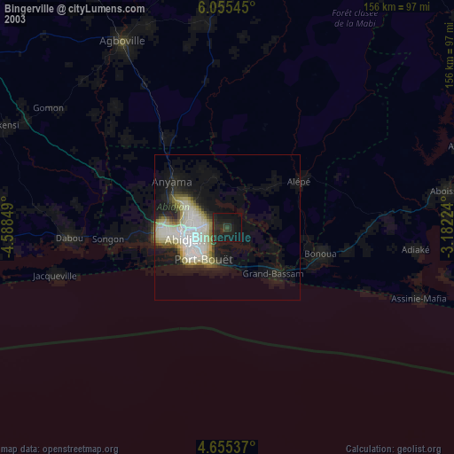
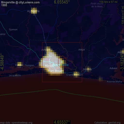
Bingerville night lights from space
Night Light of Bingerville (Abidjan) from space (Ivory Coast) Src. Average luminocity for 10x10km area is 54.1426% and for 50x50km: 25.2737%.
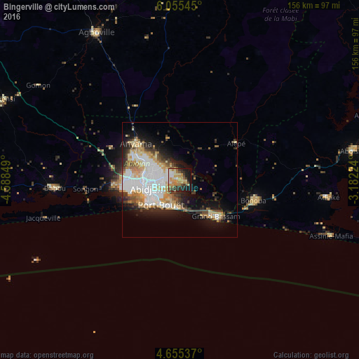
Analysis of Bingerville night lights 2016
Square area 10x10 km:
 7.02%
7.02%90-99
8.47%80-89
9.92%70-79
14.05%60-69
11.57%50-59
3.1%40-49
5.99%30-39
9.5%20-29
9.09%10-19
19.42%0-9
1.86%Square area 50x50 km:
6.64%90-99
5.47%80-89
3.03%70-79
3.58%60-69
3.06%50-59
1.51%40-49
2.67%30-39
3.05%20-29
3.95%10-19
9.21%0-9
57.83%Clear (daylight) street map image can be seen on geolist.org.
Map coordinates:
6° 3' 19.6" North, 4° 35' 18.6" West
5° 21' 20.9" North, 3° 53' 7.3" West
4° 39' 19.3" North, 3° 10' 56.1" West
Some cities around Bingerville sort by population:
• Abidjan
12.9 km =8 mi,  269°
269°
• Abobo
15.9 km =9.9 mi,  294°
294°
• Anyama
24 km =14.9 mi,  309°
309°
• Agboville
73.2 km =45.5 mi,  330°
330°
• Grand-Bassam
22.8 km =14.2 mi,  134°
134°
• Dabou
54.5 km =33.9 mi, 266°
• Bonoua
33.3 km =20.7 mi,  106°
106°
• Adiaké
64.8 km =40.3 mi,  96°
96°
2291580 (p: 50,694)
Sources (retrieved 2019-11-25):
» NASA, Earths city lights 1995
» NASA city lights 2003
» Earth at Night: Flat Maps 2012, 2016