Aboisso night lights from space
Night Light of Aboisso (Comoé) from space (Ivory Coast) Src. Average luminocity for 10x10km area is 16.1095% and for 50x50km: 2.0969%.
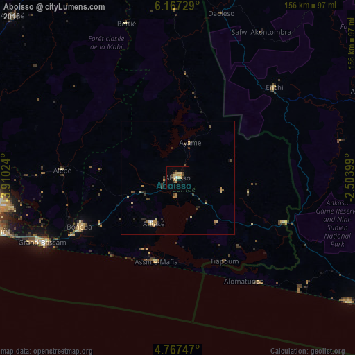
Analysis of Aboisso night lights 2016
Square area 10x10 km:
 0.62%
0.62%90-99
0.62%80-89
5.99%70-79
4.34%60-69
0%50-59
0%40-49
3.51%30-39
2.27%20-29
0.62%10-19
2.69%0-9
79.34%Square area 50x50 km:
0.04%90-99
0.08%80-89
0.54%70-79
0.61%60-69
0.07%50-59
0.15%40-49
0.45%30-39
0.46%20-29
0.45%10-19
0.3%0-9
96.84%Clear (daylight) street map image can be seen on geolist.org.
Map coordinates:
6° 10' 2.2" North, 3° 54' 36.9" West
5° 28' 4" North, 3° 12' 25.6" West
4° 46' 2.9" North, 2° 30' 14.4" West
Some cities around Aboisso sort by population:
• Abidjan
88.9 km =55.2 mi,  261°
261°
• Abobo
89.7 km =55.7 mi,  266°
266°
• Anyama
93.5 km =58.1 mi, 271°
• Grand-Bassam
65.4 km =40.6 mi,  244°
244°
• Bingerville
76.1 km =47.3 mi, 260°
• Bonoua
48.2 km =30 mi, 243°
• Adiaké
22.9 km =14.2 mi,  208°
208°
• Ayamé
16.3 km =10.1 mi,  19°
19°
2293507 (p: 37,654)
Sources (retrieved 2019-11-25):
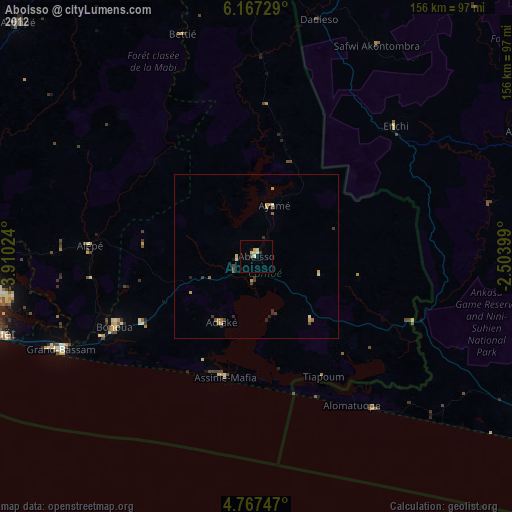
» Earth at Night: Flat Maps 2012, 2016