Adzopé night lights from space
Night Light of Adzopé (Lagunes) from space (Ivory Coast) Src. Average luminocity for 10x10km area is 13.2438% and for 50x50km: 1.3686%.
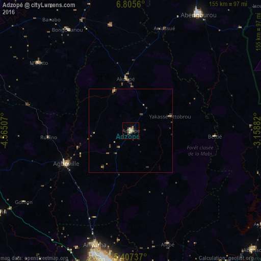
Analysis of Adzopé night lights 2016
Square area 10x10 km:
 0.41%
0.41%90-99
2.07%80-89
1.65%70-79
1.86%60-69
4.13%50-59
0.83%40-49
2.07%30-39
1.03%20-29
3.1%10-19
1.24%0-9
81.61%Square area 50x50 km:
0.02%90-99
0.12%80-89
0.25%70-79
0.21%60-69
0.27%50-59
0.19%40-49
0.42%30-39
0.27%20-29
0.27%10-19
0.25%0-9
97.74%Clear (daylight) street map image can be seen on geolist.org.
Map coordinates:
6° 48' 20.2" North, 4° 33' 54.3" West
6° 6' 25" North, 3° 51' 43" West
5° 24' 26.5" North, 3° 9' 31.8" West
Some cities around Adzopé sort by population:
• Abobo
78.7 km =48.9 mi,  192°
192°
• Abengourou
80.2 km =49.8 mi,  30°
30°
• Anyama
71.3 km =44.3 mi,  197°
197°
• Agboville
43.6 km =27.1 mi,  242°
242°
• Arrah
64.1 km =39.8 mi,  349°
349°
• Akoupé
31 km =19.3 mi, 354°
• Bongouanou
71.4 km =44.4 mi,  328°
328°
• Affery
25.7 km =16 mi,  337°
337°
2293342 (p: 61,884)
Sources (retrieved 2019-11-25):
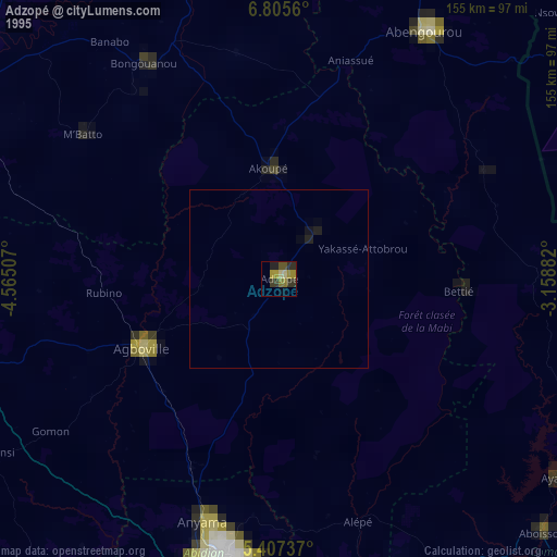
» NASA, Earths city lights 1995
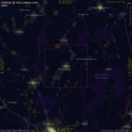
» NASA city lights 2003
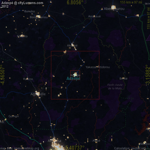
» Earth at Night: Flat Maps 2012, 2016