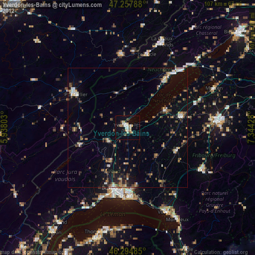
Yverdon-les-Bains night lights from space
Night Light of Yverdon-les-Bains (Vaud) from space (Switzerland) Src. Average luminocity for 10x10km area is 16.7009% and for 50x50km: 6.6031%.
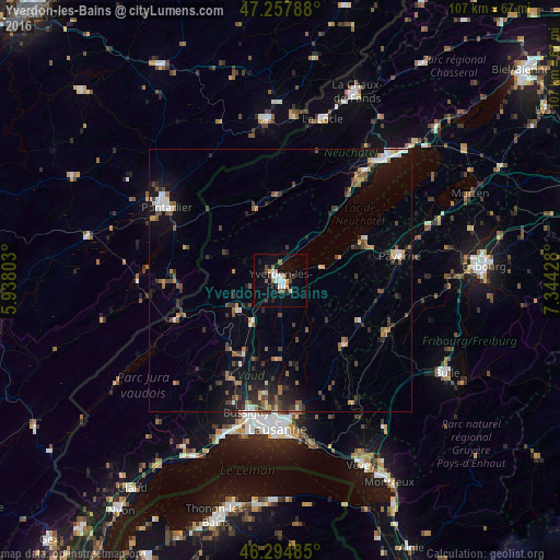
Analysis of Yverdon-les-Bains night lights 2016
Square area 10x10 km:
 3.13%
3.13%90-99
2.23%80-89
0.74%70-79
2.08%60-69
1.93%50-59
2.08%40-49
2.08%30-39
1.93%20-29
1.79%10-19
10.71%0-9
71.28%Square area 50x50 km:
0.67%90-99
0.7%80-89
0.43%70-79
0.73%60-69
0.92%50-59
1%40-49
1.32%30-39
1.21%20-29
1.74%10-19
4.4%0-9
86.88%Clear (daylight) street map image can be seen on geolist.org.
Map coordinates:
47° 15' 28.4" North, 5° 56' 16.9" East
46° 46' 42.7" North, 6° 38' 28.1" East
46° 17' 41.5" North, 7° 20' 39.4" East
Some cities around Yverdon-les-Bains sort by population:
• Pontarlier, FR
25.8 km =16 mi,  302°
302°
• Ecublens
22.9 km =14.2 mi,  146°
146°
• Epalinges
25.6 km =15.9 mi,  175°
175°
• Payerne
23.1 km =14.4 mi,  77°
77°
• Bussigny
26.1 km =16.2 mi,  194°
194°
• Le Mont-sur-Lausanne
24.5 km =15.2 mi, 181°
• Orbe
10.3 km =6.4 mi,  234°
234°
• Estavayer-le-Lac
17.5 km =10.9 mi,  63°
63°
2657941 (p: 23,702)
Sources (retrieved 2019-11-25):
» Earth at Night: Flat Maps 2012, 2016