Pontarlier night lights from space
Night Light of Pontarlier (Bourgogne-Franche-Comté) from space (France) Src. Average luminocity for 10x10km area is 21.8348% and for 50x50km: 4.2504%.
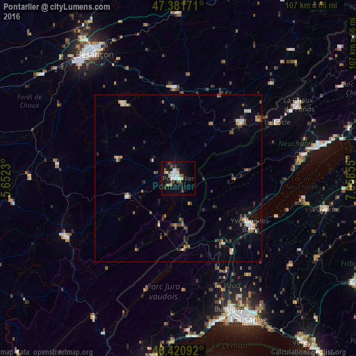
Analysis of Pontarlier night lights 2016
Square area 10x10 km:
 4.46%
4.46%90-99
5.06%80-89
0.74%70-79
1.64%60-69
1.49%50-59
4.02%40-49
2.68%30-39
1.49%20-29
1.79%10-19
23.81%0-9
52.83%Square area 50x50 km:
0.48%90-99
0.57%80-89
0.21%70-79
0.57%60-69
0.48%50-59
0.66%40-49
0.81%30-39
0.6%20-29
0.77%10-19
1.83%0-9
93%Clear (daylight) street map image can be seen on geolist.org.
Map coordinates:
47° 22' 54.2" North, 5° 39' 8.3" East
46° 54' 12.5" North, 6° 21' 19.5" East
46° 25' 15.3" North, 7° 3' 30.8" East
Some cities around Pontarlier sort by population:
• Yverdon-les-Bains, CH
25.8 km =16 mi,  122°
122°
• Le Locle, CH
34.4 km =21.4 mi,  60°
60°
• Colombier, CH
39.5 km =24.5 mi,  166°
166°
• Champagnole
38 km =23.6 mi,  242°
242°
• Morteau
25.7 km =16 mi,  48°
48°
• Orbe, CH
23.9 km =14.9 mi,  146°
146°
• Valdahon
27.4 km =17 mi,  359°
359°
• Estavayer-le-Lac, CH
37.8 km =23.5 mi,  99°
99°
2986302 (p: 20,313)
Sources (retrieved 2019-11-25):
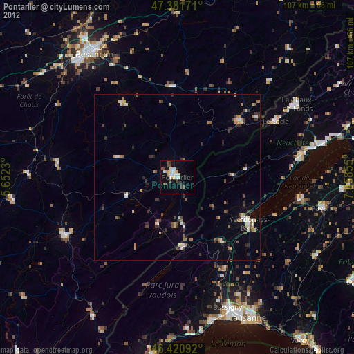
» Earth at Night: Flat Maps 2012, 2016