Payerne night lights from space
Night Light of Payerne (Vaud) from space (Switzerland) Src. Average luminocity for 10x10km area is 10.3333% and for 50x50km: 7.0155%.
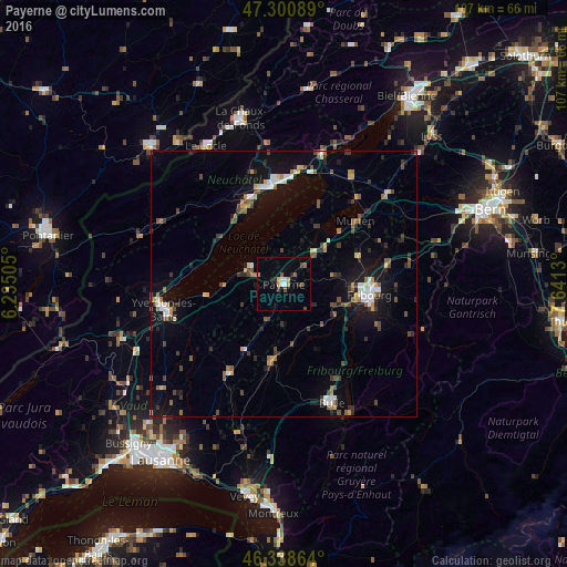
Analysis of Payerne night lights 2016
Square area 10x10 km:
 1.19%
1.19%90-99
1.19%80-89
0.6%70-79
1.04%60-69
1.34%50-59
2.08%40-49
1.64%30-39
0.89%20-29
2.23%10-19
1.64%0-9
86.16%Square area 50x50 km:
0.82%90-99
0.79%80-89
0.48%70-79
0.71%60-69
0.86%50-59
1.05%40-49
1.3%30-39
1.08%20-29
1.34%10-19
5.08%0-9
86.51%Clear (daylight) street map image can be seen on geolist.org.
Map coordinates:
47° 18' 3.2" North, 6° 14' 6.2" East
46° 49' 18.9" North, 6° 56' 17.4" East
46° 20' 19.1" North, 7° 38' 28.7" East
Some cities around Payerne sort by population:
• Fribourg
16.4 km =10.2 mi,  97°
97°
• Neuchâtel
18.9 km =11.7 mi,  358°
358°
• Villars-sur-Glâne
14.1 km =8.8 mi, 104°
• Marly
18 km =11.2 mi,  106°
106°
• Düdingen
19.5 km =12.1 mi,  81°
81°
• Murten/Morat
18 km =11.2 mi,  49°
49°
• Peseux
18.7 km =11.6 mi,  348°
348°
• Estavayer-le-Lac
7.6 km =4.7 mi,  293°
293°
2659243 (p: 7,655)
Sources (retrieved 2019-11-25):
» Earth at Night: Flat Maps 2012, 2016