Sibiti night lights from space
Night Light of Sibiti (Lékoumou) from space (Republic of the Congo) Src. Average luminocity for 10x10km area is 0% and for 50x50km: 0.0225%.
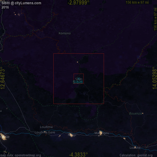
Analysis of Sibiti night lights 2016
Square area 10x10 km:
 0%
0%90-99
0%80-89
0%70-79
0%60-69
0%50-59
0%40-49
0%30-39
0%20-29
0%10-19
0%0-9
100%Square area 50x50 km:
0%90-99
0%80-89
0%70-79
0%60-69
0%50-59
0.03%40-49
0%30-39
0%20-29
0%10-19
0%0-9
99.97%Clear (daylight) street map image can be seen on geolist.org.
Map coordinates:
2° 58' 48" South, 12° 38' 48.2" East
3° 40' 54.9" South, 13° 20' 59.5" East
4° 22' 59.9" South, 14° 3' 10.7" East
Some cities around Sibiti sort by population:
• Dolisie
95.1 km =59.1 mi,  232°
232°
• Kayes
58.6 km =36.4 mi,  186°
186°
• Tshela, CD
152.9 km =95 mi,  196°
196°
• Madingou
57 km =35.4 mi,  157°
157°
• Mossendjo
108.5 km =67.4 mi,  318°
318°
• Kinkala
174.1 km =108.2 mi,  115°
115°
• Djambala
200.7 km =124.7 mi,  50°
50°
• Loango
201.7 km =125.3 mi,  237°
237°
2255285 (p: 19,089)
Sources (retrieved 2019-11-25):
» Earth at Night: Flat Maps 2012, 2016