Kayes night lights from space
Night Light of Kayes (Bouenza) from space (Republic of the Congo) Src. Average luminocity for 10x10km area is 5.9199% and for 50x50km: 0.2823%.
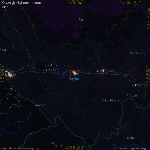
Analysis of Kayes night lights 2016
Square area 10x10 km:
 0%
0%90-99
0%80-89
0.87%70-79
1.73%60-69
0.87%50-59
2.6%40-49
0.65%30-39
1.95%20-29
0.22%10-19
1.95%0-9
89.18%Square area 50x50 km:
0%90-99
0%80-89
0.03%70-79
0.1%60-69
0.03%50-59
0.1%40-49
0.03%30-39
0.11%20-29
0.01%10-19
0.08%0-9
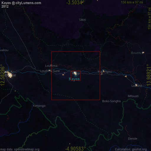
99.51%Clear (daylight) street map image can be seen on geolist.org.
Map coordinates:
3° 30' 12.2" South, 12° 34' 58.7" East
4° 12' 17.7" South, 13° 17' 9.9" East
4° 54' 21" South, 13° 59' 21.2" East
Some cities around Kayes sort by population:
• Pointe-Noire
170 km =105.6 mi,  248°
248°
• Dolisie
68.7 km =42.7 mi,  270°
270°
• Tshela, CD
95.7 km =59.5 mi,  203°
203°
• Loandjili
169.8 km =105.5 mi, 248°
• Madingou
29.8 km =18.5 mi,  78°
78°
• Sibiti
58.6 km =36.4 mi,  6°
6°
• Mossendjo
153.8 km =95.6 mi,  335°
335°
• Kinkala
164.8 km =102.4 mi,  96°
96°
2259383 (p: 58,737)
Sources (retrieved 2019-11-25):
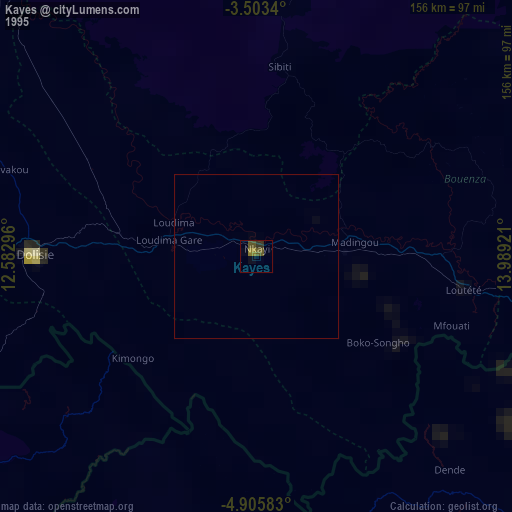
» NASA, Earths city lights 1995
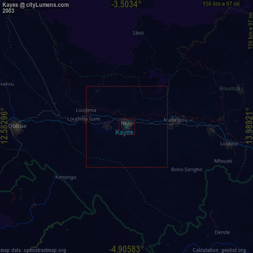
» NASA city lights 2003
» Earth at Night: Flat Maps 2012, 2016