Madingou night lights from space
Night Light of Madingou (Bouenza) from space (Republic of the Congo) Src. Average luminocity for 10x10km area is 6.7208% and for 50x50km: 0.3315%.
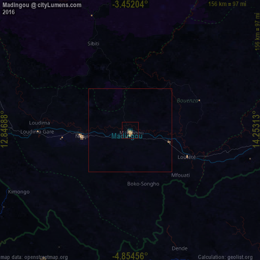
Analysis of Madingou night lights 2016
Square area 10x10 km:
 0%
0%90-99
0%80-89
0%70-79
2.38%60-69
2.16%50-59
1.95%40-49
1.3%30-39
1.08%20-29
1.73%10-19
1.73%0-9
87.66%Square area 50x50 km:
0%90-99
0%80-89
0%70-79
0.11%60-69
0.1%50-59
0.11%40-49
0.05%30-39
0.04%20-29
0.13%10-19
0.08%0-9
99.38%Clear (daylight) street map image can be seen on geolist.org.
Map coordinates:
3° 27' 7.3" South, 12° 50' 48.8" East
4° 9' 13" South, 13° 33' 0" East
4° 51' 16.4" South, 14° 15' 11.3" East
Some cities around Madingou sort by population:
• Matadi, CD
187.6 km =116.6 mi,  182°
182°
• Dolisie
98.1 km =61 mi,  267°
267°
• Kayes
29.8 km =18.5 mi,  258°
258°
• Tshela, CD
115.1 km =71.5 mi,  215°
215°
• Kasangulu, CD
185.4 km =115.2 mi,  104°
104°
• Sibiti
57 km =35.4 mi,  337°
337°
• Mossendjo
163.5 km =101.6 mi,  324°
324°
• Kinkala
136.6 km =84.9 mi, 99°
2257990 (p: 22,760)
Sources (retrieved 2019-11-25):
» Earth at Night: Flat Maps 2012, 2016