Dolisie night lights from space
Night Light of Dolisie (Niari) from space (Republic of the Congo) Src. Average luminocity for 10x10km area is 21.4459% and for 50x50km: 1.7477%.
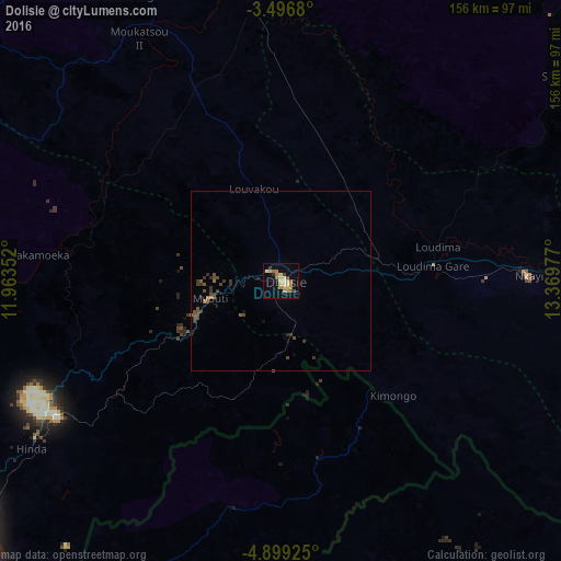
Analysis of Dolisie night lights 2016
Square area 10x10 km:
 0%
0%90-99
1.08%80-89
8.01%70-79
3.68%60-69
4.98%50-59
2.81%40-49
2.16%30-39
0.87%20-29
1.52%10-19
7.36%0-9
67.53%Square area 50x50 km:
0%90-99
0.04%80-89
0.31%70-79
0.16%60-69
0.31%50-59
0.39%40-49
0.55%30-39
0.52%20-29
0.25%10-19
0.38%0-9
97.08%Clear (daylight) street map image can be seen on geolist.org.
Map coordinates:
3° 29' 48.5" South, 11° 57' 48.7" East
4° 11' 54" South, 12° 39' 59.9" East
4° 53' 57.3" South, 13° 22' 11.2" East
Some cities around Dolisie sort by population:
• Pointe-Noire
109.8 km =68.2 mi,  234°
234°
• Kayes
68.7 km =42.7 mi,  90°
90°
• Tshela, CD
94.1 km =58.5 mi,  160°
160°
• Loandjili
109 km =67.7 mi,  235°
235°
• Madingou
98.1 km =61 mi, 87°
• Sibiti
95.1 km =59.1 mi,  52°
52°
• Mossendjo
138.9 km =86.3 mi,  1°
1°
• Loango
107.3 km =66.7 mi, 241°
2258261 (p: 103,894)
Sources (retrieved 2019-11-25):
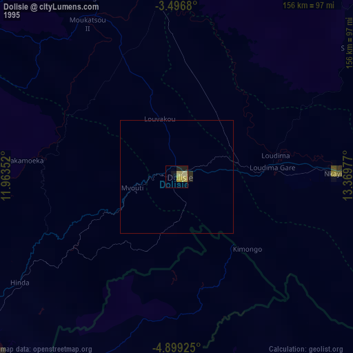
» NASA, Earths city lights 1995
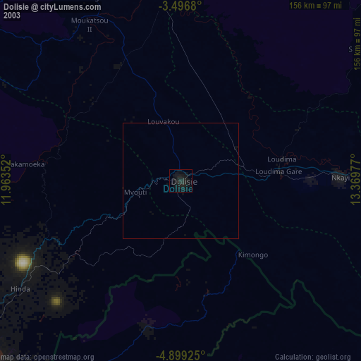
» NASA city lights 2003
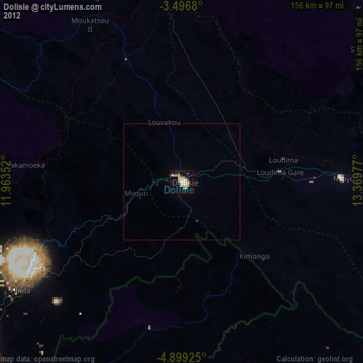
» Earth at Night: Flat Maps 2012, 2016