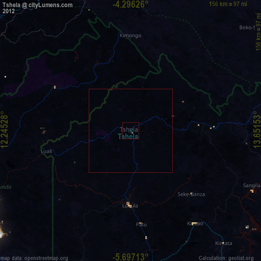
Tshela night lights from space
Night Light of Tshela (Bas-Congo) from space (Democratic Republic of the Congo) Src. Average luminocity for 10x10km area is 0% and for 50x50km: 0.277%.
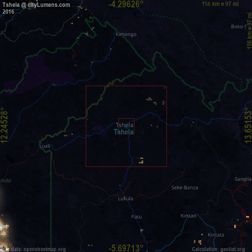
Analysis of Tshela night lights 2016
Square area 10x10 km:
 0%
0%90-99
0%80-89
0%70-79
0%60-69
0%50-59
0%40-49
0%30-39
0%20-29
0%10-19
0%0-9
100%Square area 50x50 km:
0%90-99
0%80-89
0%70-79
0%60-69
0%50-59
0.14%40-49
0.07%30-39
0.1%20-29
0.31%10-19
0.2%0-9
99.19%Clear (daylight) street map image can be seen on geolist.org.
Map coordinates:
4° 17' 46.5" South, 12° 14' 43" East
4° 59' 49.5" South, 12° 56' 54.2" East
5° 41' 49.7" South, 13° 39' 5.5" East
Some cities around Tshela sort by population:
• Pointe-Noire, CG
122.7 km =76.2 mi,  281°
281°
• Matadi
109.5 km =68 mi,  148°
148°
• Boma
95.7 km =59.5 mi,  173°
173°
• Dolisie, CG
94.1 km =58.5 mi,  340°
340°
• Cabinda, AO
103.2 km =64.1 mi,  233°
233°
• Kayes, CG
95.7 km =59.5 mi,  23°
23°
• Moanda
121.6 km =75.6 mi,  211°
211°
• Madingou, CG
115.1 km =71.5 mi,  35°
35°
2311127 (p: 38,845)
Sources (retrieved 2019-11-25):
» Earth at Night: Flat Maps 2012, 2016