Ndélé night lights from space
Night Light of Ndélé (Bamingui-Bangoran) from space (Central African Republic) Src. Average luminocity for 10x10km area is 0% and for 50x50km: 0%.
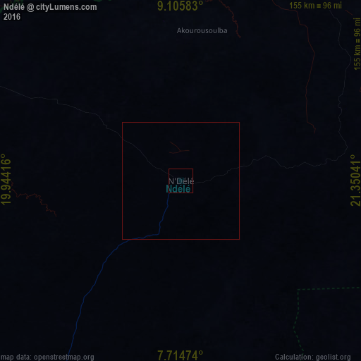
Analysis of Ndélé night lights 2016
Square area 10x10 km:
 0%
0%90-99
0%80-89
0%70-79
0%60-69
0%50-59
0%40-49
0%30-39
0%20-29
0%10-19
0%0-9
100%Square area 50x50 km:
0%90-99
0%80-89
0%70-79
0%60-69
0%50-59
0%40-49
0%30-39
0%20-29
0%10-19
0%0-9
100%Clear (daylight) street map image can be seen on geolist.org.
Map coordinates:
9° 6' 21" North, 19° 56' 39" East
8° 24' 39.3" North, 20° 38' 50.2" East
7° 42' 53.1" North, 21° 21' 1.5" East
Some cities around Ndélé sort by population:
• Sarh, TD
260.8 km =162.1 mi,  288°
288°
• Kaga Bandoro
225.5 km =140.1 mi,  225°
225°
• Bria
254.9 km =158.4 mi,  144°
144°
• Ippy
246.6 km =153.2 mi,  165°
165°
• Kyabé, TD
219.9 km =136.6 mi,  301°
301°
• Batangafo
288.2 km =179.1 mi,  244°
244°
• Kabo
235.9 km =146.6 mi,  250°
250°
• Ouadda
196.5 km =122.1 mi,  100°
100°
237379 (p: 11,764)
Sources (retrieved 2019-11-25):
» Earth at Night: Flat Maps 2012, 2016