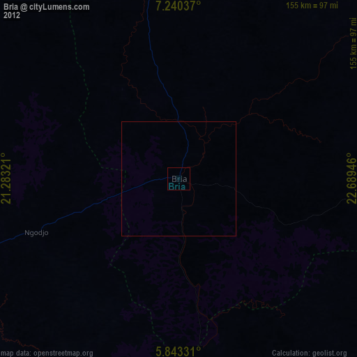
Bria night lights from space
Night Light of Bria (Haute-Kotto) from space (Central African Republic) Src. Average luminocity for 10x10km area is 1.2554% and for 50x50km: 0.0504%.

Analysis of Bria night lights 2016
Square area 10x10 km:
 0%
0%90-99
0%80-89
0%70-79
0%60-69
0.87%50-59
0%40-49
0.87%30-39
0.43%20-29
0.43%10-19
0%0-9
97.4%Square area 50x50 km:
0%90-99
0%80-89
0%70-79
0%60-69
0.03%50-59
0%40-49
0.03%30-39
0.02%20-29
0.02%10-19
0%0-9
99.9%Clear (daylight) street map image can be seen on geolist.org.
Map coordinates:
7° 14' 25.3" North, 21° 16' 59.6" East
6° 32' 32.4" North, 21° 59' 10.8" East
5° 50' 35.9" North, 22° 41' 22.1" East
Some cities around Bria sort by population:
• Bambari
168.5 km =104.7 mi,  239°
239°
• Bangassou
220.4 km =137 mi,  155°
155°
• Mobaye
262.9 km =163.4 mi,  199°
199°
• Ippy
89.5 km =55.6 mi,  250°
250°
• Alindao
189.2 km =117.6 mi,  207°
207°
• Ndélé
254.9 km =158.4 mi,  324°
324°
• Kembé
213.7 km =132.8 mi,  182°
182°
• Ouadda
176.7 km =109.8 mi,  14°
14°
239899 (p: 29,027)
Sources (retrieved 2019-11-25):
» Earth at Night: Flat Maps 2012, 2016