Ouadda night lights from space
Night Light of Ouadda (Haute-Kotto) from space (Central African Republic) Src. Average luminocity for 10x10km area is 0% and for 50x50km: 0%.
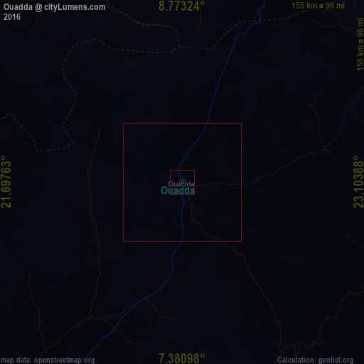
Analysis of Ouadda night lights 2016
Square area 10x10 km:
 0%
0%90-99
0%80-89
0%70-79
0%60-69
0%50-59
0%40-49
0%30-39
0%20-29
0%10-19
0%0-9
100%Square area 50x50 km:
0%90-99
0%80-89
0%70-79
0%60-69
0%50-59
0%40-49
0%30-39
0%20-29
0%10-19
0%0-9
100%Clear (daylight) street map image can be seen on geolist.org.
Map coordinates:
8° 46' 23.7" North, 21° 41' 51.5" East
8° 4' 39.8" North, 22° 24' 2.7" East
7° 22' 51.5" North, 23° 6' 14" East
Some cities around Ouadda sort by population:
• Bambari
319.7 km =198.7 mi,  216°
216°
• Bria
176.7 km =109.8 mi,  194°
194°
• Bangassou
373.8 km =232.3 mi,  172°
172°
• Ippy
239.4 km =148.8 mi,  212°
212°
• Alindao
363.9 km =226.1 mi,  201°
201°
• Ndélé
196.5 km =122.1 mi,  280°
280°
• Birao
249.1 km =154.8 mi,  9°
9°
• Raja, SS
363.2 km =225.7 mi,  83°
83°
236901 (p: 5,434)
Sources (retrieved 2019-11-25):
» Earth at Night: Flat Maps 2012, 2016