Ippy night lights from space
Night Light of Ippy (Ouaka) from space (Central African Republic) Src. Average luminocity for 10x10km area is 0% and for 50x50km: 0%.
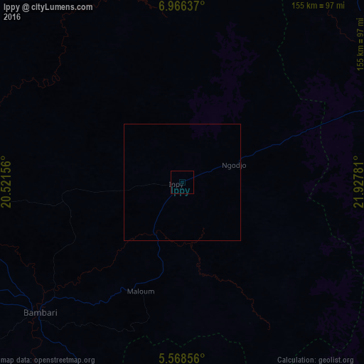
Analysis of Ippy night lights 2016
Square area 10x10 km:
 0%
0%90-99
0%80-89
0%70-79
0%60-69
0%50-59
0%40-49
0%30-39
0%20-29
0%10-19
0%0-9
100%Square area 50x50 km:
0%90-99
0%80-89
0%70-79
0%60-69
0%50-59
0%40-49
0%30-39
0%20-29
0%10-19
0%0-9
100%Clear (daylight) street map image can be seen on geolist.org.
Map coordinates:
6° 57' 58.9" North, 20° 31' 17.6" East
6° 16' 4.5" North, 21° 13' 28.8" East
5° 34' 6.8" North, 21° 55' 40.1" East
Some cities around Ippy sort by population:
• Kaga Bandoro
238.9 km =148.4 mi,  289°
289°
• Gbadolite, CD
222.5 km =138.3 mi,  186°
186°
• Bambari
82.3 km =51.1 mi,  227°
227°
• Bria
89.5 km =55.6 mi,  70°
70°
• Mobaye
216.8 km =134.7 mi,  181°
181°
• Alindao
138 km =85.7 mi, 180°
• Kembé
197 km =122.4 mi,  158°
158°
• Kouango
199 km =123.7 mi,  224°
224°
238566 (p: 16,571)
Sources (retrieved 2019-11-25):
» Earth at Night: Flat Maps 2012, 2016