Kaga Bandoro night lights from space
Night Light of Kaga Bandoro (Nana-Grébizi) from space (Central African Republic) Src. Average luminocity for 10x10km area is 0.303% and for 50x50km: 0.0121%.

Analysis of Kaga Bandoro night lights 2016
Square area 10x10 km:
 0%
0%90-99
0%80-89
0%70-79
0%60-69
0%50-59
0%40-49
0%30-39
0.87%20-29
0%10-19
0%0-9
99.13%Square area 50x50 km:
0%90-99
0%80-89
0%70-79
0%60-69
0%50-59
0%40-49
0%30-39
0.03%20-29
0%10-19
0%0-9
99.97%Clear (daylight) street map image can be seen on geolist.org.
Map coordinates:
7° 41' 13.1" North, 18° 29' 3.6" East
6° 59' 22.6" North, 19° 11' 14.8" East
6° 17' 28.4" North, 19° 53' 26.1" East
Some cities around Kaga Bandoro sort by population:
• Sibut
141.9 km =88.2 mi,  185°
185°
• Bambari
213.3 km =132.5 mi,  129°
129°
• Bossangoa
199.1 km =123.7 mi,  253°
253°
• Batangafo
105.6 km =65.6 mi,  289°
289°
• Kabo
100.1 km =62.2 mi,  322°
322°
• Bouca
114 km =70.8 mi,  241°
241°
• Ndélé
225.5 km =140.1 mi,  45°
45°
• Moïssala, TD
217 km =134.8 mi,  313°
313°
2386012 (p: 56,520)
Sources (retrieved 2019-11-25):
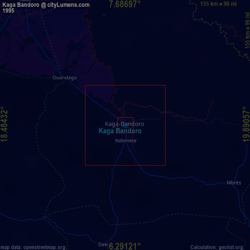
» NASA, Earths city lights 1995
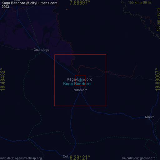
» NASA city lights 2003
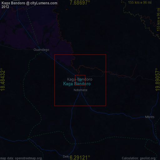
» Earth at Night: Flat Maps 2012, 2016