Bouca night lights from space
Night Light of Bouca (Ouham) from space (Central African Republic) Src. Average luminocity for 10x10km area is 0% and for 50x50km: 0%.
Analysis of Bouca night lights 2016
Square area 10x10 km:
 0%
0%90-99
0%80-89
0%70-79
0%60-69
0%50-59
0%40-49
0%30-39
0%20-29
0%10-19
0%0-9
100%Square area 50x50 km:
0%90-99
0%80-89
0%70-79
0%60-69
0%50-59
0%40-49
0%30-39
0%20-29
0%10-19
0%0-9
100%Clear (daylight) street map image can be seen on geolist.org.
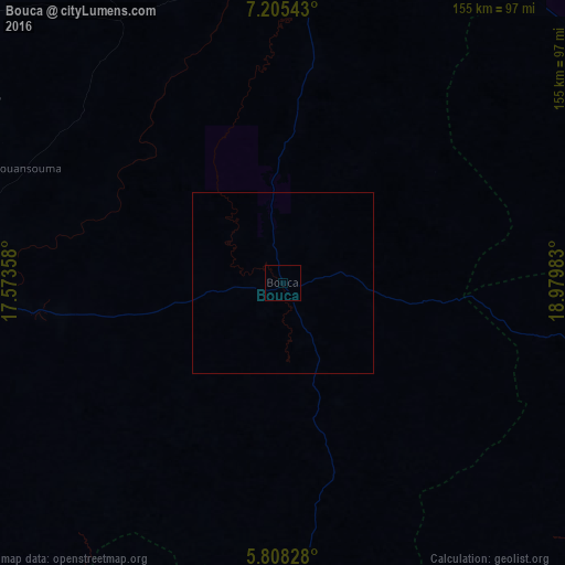
Map coordinates:
7° 12' 19.5" North, 17° 34' 24.9" East
6° 30' 26.4" North, 18° 16' 36.1" East
5° 48' 29.8" North, 18° 58' 47.4" East
Some cities around Bouca sort by population:
• Kaga Bandoro
114 km =70.8 mi,  61°
61°
• Bozoum
210.6 km =130.9 mi,  264°
264°
• Sibut
124.4 km =77.3 mi,  134°
134°
• Bossangoa
90.8 km =56.4 mi,  268°
268°
• Damara
178.3 km =110.8 mi,  164°
164°
• Batangafo
88.2 km =54.8 mi,  0°
0°
• Kabo
138.1 km =85.8 mi,  16°
16°
• Boali
190.5 km =118.4 mi,  184°
184°
2387890 (p: 13,250)
Sources (retrieved 2019-11-25):
» Earth at Night: Flat Maps 2012, 2016