Bambari night lights from space
Night Light of Bambari (Ouaka) from space (Central African Republic) Src. Average luminocity for 10x10km area is 0% and for 50x50km: 0%.

Analysis of Bambari night lights 2016
Square area 10x10 km:
 0%
0%90-99
0%80-89
0%70-79
0%60-69
0%50-59
0%40-49
0%30-39
0%20-29
0%10-19
0%0-9
100%Square area 50x50 km:
0%90-99
0%80-89
0%70-79
0%60-69
0%50-59
0%40-49
0%30-39
0%20-29
0%10-19
0%0-9
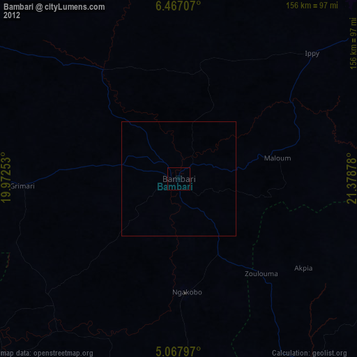
100%Clear (daylight) street map image can be seen on geolist.org.
Map coordinates:
6° 28' 1.5" North, 19° 58' 21.1" East
5° 46' 4.6" North, 20° 40' 32.3" East
5° 4' 4.7" North, 21° 22' 43.6" East
Some cities around Bambari sort by population:
• Gbadolite, CD
169.5 km =105.3 mi,  167°
167°
• Sibut
177.3 km =110.2 mi,  268°
268°
• Bria
168.5 km =104.7 mi,  59°
59°
• Mobaye
170.5 km =105.9 mi,  160°
160°
• Ippy
82.3 km =51.1 mi,  47°
47°
• Alindao
101.4 km =63 mi,  144°
144°
• Kembé
184.9 km =114.9 mi,  133°
133°
• Kouango
116.9 km =72.6 mi,  222°
222°
240604 (p: 32,547)
Sources (retrieved 2019-11-25):
» Earth at Night: Flat Maps 2012, 2016