Bossangoa night lights from space
Night Light of Bossangoa (Ouham) from space (Central African Republic) Src. Average luminocity for 10x10km area is 0% and for 50x50km: 0%.

Analysis of Bossangoa night lights 2016
Square area 10x10 km:
 0%
0%90-99
0%80-89
0%70-79
0%60-69
0%50-59
0%40-49
0%30-39
0%20-29
0%10-19
0%0-9
100%Square area 50x50 km:
0%90-99
0%80-89
0%70-79
0%60-69
0%50-59
0%40-49
0%30-39
0%20-29
0%10-19
0%0-9
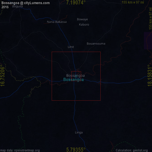
100%Clear (daylight) street map image can be seen on geolist.org.
Map coordinates:
7° 11' 26.7" North, 16° 45' 7.4" East
6° 29' 33.5" North, 17° 27' 18.6" East
5° 47' 36.8" North, 18° 9' 29.9" East
Some cities around Bossangoa sort by population:
• Kaga Bandoro
199.1 km =123.7 mi,  73°
73°
• Bozoum
120.4 km =74.8 mi,  260°
260°
• Sibut
198.6 km =123.4 mi,  115°
115°
• Paoua
139.6 km =86.7 mi,  306°
306°
• Batangafo
128.2 km =79.7 mi,  45°
45°
• Kabo
186.5 km =115.9 mi,  43°
43°
• Bouca
90.8 km =56.4 mi,  88°
88°
• Baoro
188.5 km =117.1 mi,  240°
240°
2388036 (p: 27,428)
Sources (retrieved 2019-11-25):
» Earth at Night: Flat Maps 2012, 2016