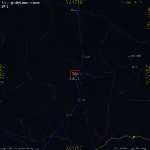
Sibut night lights from space
Night Light of Sibut (Kémo) from space (Central African Republic) Src. Average luminocity for 10x10km area is 0% and for 50x50km: 0%.
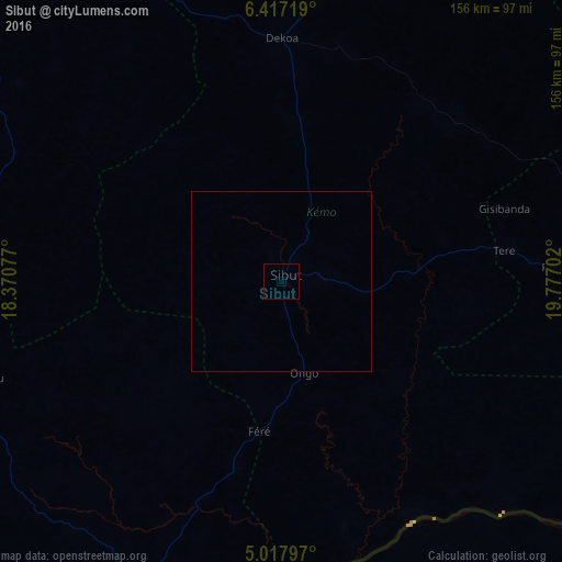
Analysis of Sibut night lights 2016
Square area 10x10 km:
 0%
0%90-99
0%80-89
0%70-79
0%60-69
0%50-59
0%40-49
0%30-39
0%20-29
0%10-19
0%0-9
100%Square area 50x50 km:
0%90-99
0%80-89
0%70-79
0%60-69
0%50-59
0%40-49
0%30-39
0%20-29
0%10-19
0%0-9
100%Clear (daylight) street map image can be seen on geolist.org.
Map coordinates:
6° 25' 1.9" North, 18° 22' 14.8" East
5° 43' 4.8" North, 19° 4' 26" East
5° 1' 4.7" North, 19° 46' 37.3" East
Some cities around Sibut sort by population:
• Bangui
161.4 km =100.3 mi,  200°
200°
• Bimbo
178.1 km =110.7 mi, 204°
• Kaga Bandoro
141.9 km =88.2 mi,  5°
5°
• Bambari
177.3 km =110.2 mi,  88°
88°
• Damara
93.7 km =58.2 mi,  205°
205°
• Bouca
124.4 km =77.3 mi,  314°
314°
• Kouango
127.1 km =79 mi,  129°
129°
• Boali
146.2 km =90.8 mi,  225°
225°
2383119 (p: 34,267)
Sources (retrieved 2019-11-25):
» Earth at Night: Flat Maps 2012, 2016